Disclosure : This site contains affiliate links to products. We may receive a commission for purchases made through these links.
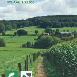
Terschelling

The entire island of Terschelling is featured on this two-sided GPS compatible walking map at 1:25,000 in a series of maps with extensive overprint for long-distance and local walking routes.This map is printed on environmentally friendly paper and is waterproof and tear-resistant .Varied colouring show different types of landscape. Symbols indicate various facilities. Maps have the lines of the Dutch National Grid for measuring distances and for determining location using GPS device.In Dutch but legend contains English translation.

Related Products:
 Texel
Texel
 Vlieland
 Ameland
 Schiermonnikoog
 Zuid-Limburg
 Kaarten en Atlassen walking/ hiking maps: Netherlands
 Netherlands: 25K Topographic maps
 Utrechtse Heuvelrug
 Amsterdam Waterland
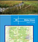 Central Veluwe
 Northwest Achterhoek
 Southwest Achterhoek
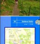 Gelderse Valley
 North Veluwe
 Amsterdam Amstelland
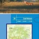 Veluwe South
 Ruhr Region East Cycling Map
 Oberlausitz
Sauerland
Rheinhessen Cycling Map
Ulm and Environs Cycling Map
Oberlausitz
Sauerland
Rheinhessen Cycling Map
Ulm and Environs Cycling Map
 Harz Cycling Map
Saarland Cycling Map
Palatinate Cycling Map
Lahntal Cycling Map
Allgรคu Cycling Map
Harz Cycling Map
Saarland Cycling Map
Palatinate Cycling Map
Lahntal Cycling Map
Allgรคu Cycling Map
 Rhein-Main
 Dessau – Flaming
 Cologne – Bonn
 Trier and Environs
 Dahme – Spree
 The Ruhr East
 Berlin North
 Berlin South
 Potsdam – Havelland
 Dresden and Environs
 Magdeburg and Environs
 Schleswig – Flensburg Cycling Map
Niederlausitz – Lausitzer Seen Cycling Map
Schleswig – Flensburg Cycling Map
Niederlausitz – Lausitzer Seen Cycling Map