Disclosure : This site contains affiliate links to products. We may receive a commission for purchases made through these links.
Tennessee Recreational Atlas & Gazetteer

Related Products:
 Georgia Recreational Atlas & Gazetteer
 Alabama Recreational Atlas & Gazetteer
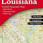 Louisiana Recreational Atlas & Gazetteer
 Illinois Recreational Atlas & Gazetteer
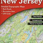 New Jersey Recreational Atlas & Gazetteer
 Virginia Recreational Atlas & Gazetteer
 Nebraska Recreational Atlas & Gazetteer
 Minnesota Recreational Atlas & Gazetteer
 Kentucky Recreational Atlas & Gazetteer
 Hawaii Recreational Atlas & Gazetteer
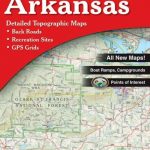 Arkansas Recreational Atlas & Gazetteer
 Oklahoma Recreational Atlas & Gazetteer
 Utah Recreational Atlas & Gazetteer
 Missouri Recreational Atlas & Gazetteer
 Texas Recreational Atlas & Gazetteer
 Montana Recreational Atlas & Gazetteer
 Wisconsin Recreational Atlas & Gazetteer
 Oregon Recreational Atlas & Gazetteer
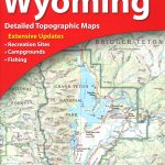 Wyoming Recreational Atlas & Gazetteer
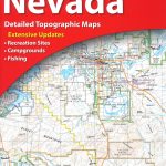 Nevada Recreational Atlas & Gazetteer
 Alaska Recreational Atlas & Gazetteer
 Arizona Recreational Atlas & Gazetteer
 Mississippi Recreational Atlas & Gazetteer
 Colorado Recreational Atlas & Gazetteer
 Ohio Recreational Atlas & Gazetteer
 New Mexico Recreational Atlas & Gazetteer
 Massachusetts Recreational Atlas & Gazetteer
Michigan Recreational Atlas & Gazetteer
Massachusetts Recreational Atlas & Gazetteer
Michigan Recreational Atlas & Gazetteer
 Florida Recreational Atlas & Gazetteer
 Washington State Recreational Atlas & Gazetteer
 South Carolina Recreational Atlas & Gazetteer
 New York State Recreational Atlas & Gazetteer
 West Virginia Recreational Atlas & Gazetteer
 Maine DeLorme Recreational Atlas & Gazetteer
 North Carolina Recreational Atlas & Gazetteer
 Indiana Rescreational Atlas & Gazetteer
 Pennsylvania DeLorme Atlas & Gazetteer
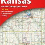 Kansas DeLorme Atlas & Gazetteer
 Idaho DeLorme Atlas & Gazetteer
 California DeLorme Atlas & Gazetteer