Disclosure : This site contains affiliate links to products. We may receive a commission for purchases made through these links.
Tenerife K+F Outdoor Map

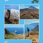
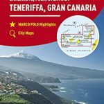
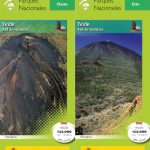
Tenerife at 1:60,000 on a sturdy, waterproof and tear-resistant, GPS compatible map from Kรผmmerly + Frey, with street plans of the island’s six main towns/resorts. The map divides the island north/south, with a small overlap between the sides, and shows the north-eastern part as an inset. Topography is presented by contours at 100m intervals and light relief shading, plus colouring for woodlands. Boundary of the Teide National Park is marked and the map also shows other protected areas. Road network indicates motorway junction numbers and services, locations of petrol stations and car parks in remote areas, scenic routes and restricted entry roads, driving distances on main routes, and bus stops. The map also highlights waymarked walking paths, indicating steep hiking trails and sections requiring climbing experience, and mountain bike routes. A wide range of symbols show various facilities and places of interest, including mountain refuges, sport and recreational sites, viewpoints, etc. The map has a 1-km UTM grid. Map legend includes English.Street plans, highlighting important buildings and facilities, cover central Santa Cruz de Tenerife, San Cristรณbal de la Laguna, Puerto de la Cruz, La Orotava, Los Cristianos and Playa de la Amรฉricas.


