Disclosure : This site contains affiliate links to products. We may receive a commission for purchases made through these links.
Taif/At Taif

Taif on an indexed street plan from the Saudi Arabian publishers Farsi Maps with place names in Arabic and Latin alphabets, maps of Al Hada and Ash Shafa, plus a road map linking the city with Mecca and Jeddah.On one side is a street plan of the whole city at 1:13,000. On the reverse the city is presented at 1:50,000 with coverage extended further to the Hawiyyah Airport. Separate panels at 1:26,000 and 1:17,500 present Al Hada and Ash Shafa respectively. The two plans of Taif highlight main traffic arteries and show names of streets and districts or neighbourhoods in both Arabic and Latin alphabets. Both are annotated with numerous facilities and services cross-referenced to an index booklet. The booklet, presented in two separate parts for the Arabic and English names, provides an extensive list of governments and public agencies, hotels and furnished apartments, restaurants, banks, etc. The plans of Al Hada and Ash Shafa have street names in Arabic only with selected facilities and places of interest also named in English. Map legend includes English.Also provided is a road map of the region linking Taif with Mecca and Jeddah.

Related Products:
 Europe Eastern F&B
 Albena, Kranevo and Balchik
 Holy Land – Israel – Palestine F&B Top 10 Tips
 Oman & Yemen ITMB
 Serbia North F&B
 Serbia South F&B
 Hebron Tourist Map
 Oxford Essential Arabic Dictionary
 Irkutsk
 Kiev F&B City Pocket
 Moscow Jana Seta Street Plan
 Morocco F&B
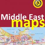
 Middle East ITMB Travel Atlas
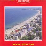
 Bulgaria – City Centres Domino Road Map
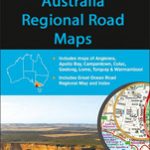 Australia: UBD Gregory`s Regional Road Maps
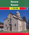 Kosovo F&B Top 10 Tips
 Central Asia F&B
Munich EXTRA
Central Asia F&B
Munich EXTRA
 Doha Street Plan
 Crete F&B Top 10 Tips
 Arkhangelsk
 Hong Kong – Macau Guide Map
 Sunny Beach – Nesebar
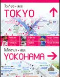 Tokyo – Yokohama
 USA – Canada South F&B
Michelin City Maps
USA – Canada South F&B
Michelin City Maps
 North Macedonia F&B Top 10 Tips
 Plovdiv
 Europe Western F&B
 Bahrain and Manama City ITMB
 Middle East: Explorer Publishing Maps, Atlases and Street Plans
 Freytag & Berndt City Pocket Street Plans
 Italy South F&B
 Bulgaria (with Street Plans of Black Sea Resorts)
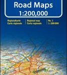 Italy: Kรผmmerly + Frey 200K Regional Road Maps
 Red Sea Gizi Map
 Bulgarian and Romanian Black Sea Coast F&B Top 10 Tips