Disclosure : This site contains affiliate links to products. We may receive a commission for purchases made through these links.
Syria F&B
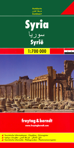
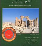
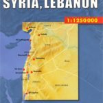
Syria road map at 1:700,000 from Freytag & Berndt, with a street plan of central Damascus. The country’s numerous historical and archaeological sites are prominently highlighted. All place names are shown only transliterated into Latin alphabet.Topography is shown by relief shading and spot heights, with colouring and/or graphics indicating deserts, salt flats, seasonal lakes, etc. Road network includes desert tracks and shows driving distances on main routes. Railway lines are marked and local airports are indicated. The map prominently highlights the country’s many historical and archaeological sites from Palmyra and Crac de Chevalier to lesser know remains. Latitude and longitude lines are drawn at intervals of 1ยบ. Multilingual map legend includes English.Also provided is street plan of central Damascus.


