Disclosure : This site contains affiliate links to products. We may receive a commission for purchases made through these links.
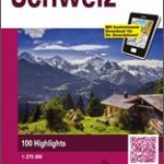
Switzerland, My Holiday Map

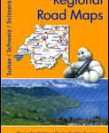
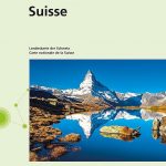
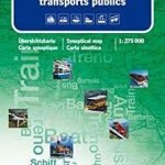
An attractive and popular combination of a road map of Switzerland plus a beautiful panorama map of the country printed on the reverse. The road network, similar in style to other road maps of Switzerland from the Hallwag Kรผmmerly + Frey cartographic house which vary mainly in the colouring of main roads and in the additional information provided on them, shows detailed information including toll roads, restricted or prohibited roads, opening months of mountain passes, gradients, etc. Railway network includes mountain railways, cable cars and chair lifts, etc. Symbols highlight viewpoints, campsites, various sport and leisure facilities, etc. The base map, with subtle relief shading, includes names of mountain chains and valleys and spot heights for main peaks. Latitude and longitude grid is at 15’ intervals.The map is surrounded by insets showing transit roads across 10 main cities: Basel, Bern, Biel/Bienne, Geneva, Lausanne, Lugano, Luzern, St. Gallen, Winterthur, and Zurich. The index of place names, including geographical features is in a separate booklet attached to the map cover. Map legend includes English.On the reverse the map has a beautiful panorama drawing of the whole country, viewed looking southwards from Basle, with the Italian and French Alps in the background. Each valley and mountain is clearly visible. Name and altitude are indicated for numerous peaks. The map also shows the railway network, with towns and villages. Excellent for planning or retracing journeys across this wonderful landscape.


