Disclosure : This site contains affiliate links to products. We may receive a commission for purchases made through these links.
Switzerland: Kรผmmerly + Frey 60K Cycling Maps
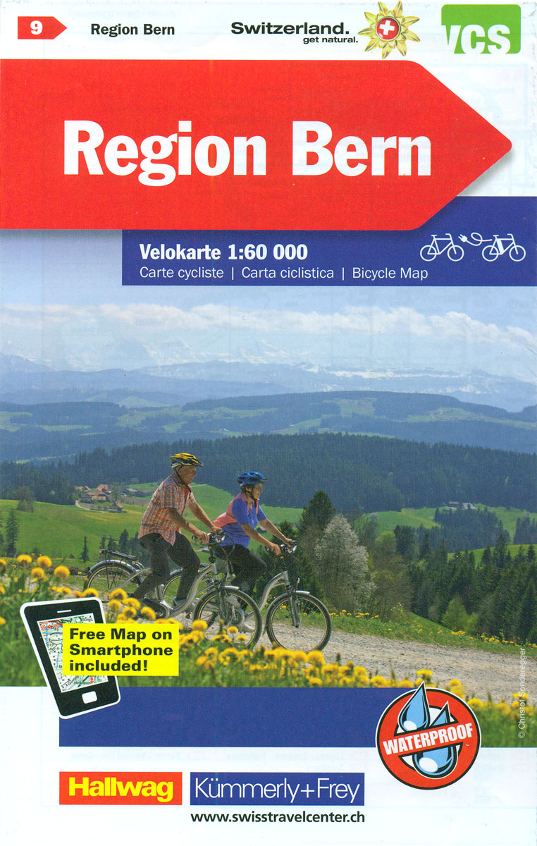
Maps with the official โ€Cycling in Switzerlandโ€ routes, published in co-operation with the Association for Transport and Environment. The aim of the series is to present a network of routes with as few problems as possible caused by motor traffic. The maps have a detailed base, with contours plus graphic relief and shading providing an excellent representation of the terrain. Routes are classified according to the density of motorized traffic, the difficulty of the terrain, and road restrictions. Unsurfaced roads are indicated, gradient marks show steep inclines, and local danger spots are highlighted. The maps show facilities for transporting cycles by train, bus, ferries, mountain railways, chair lifts, and cable cars. Border crossings indicate those open only to hikers and cyclist during daylight hours. Bike rental facilities are marked and towns with special bicycle-friendly accommodation are highlighted. Other tourist information includes various types of accommodations (campsites, youth hostels, โ€Friends of Natureโ€ houses, etc), viewpoints, picnic sites, swimming pools, and places of interest.Each title covers an area of approximately 60 x 42 km (37 x 26 miles). The maps have a 1km grid for GPS users, with latitude and longitude shown as margin ticks. Map legend includes English. On the reverse, an index of towns and villages also lists names of geographical features such as mountains, alpine passes, glaciers, etc. Also provided is general information on the countryโ€s long-distance cycling routes and on transporting bikes by train (text includes English).*From summer 2008 new editions of these maps will be printed on light, waterproof and tear-resistant synthetic paper.*

Related Products:
 Switzerland: Kรผmmerly + Frey 120K Holiday Maps
 Switzerland: Kรผmmerly + Frey 60K Walking Maps
 Geneva K+F Cycling Map 17
 Zurich K+F Cycling Map 6
 Solothurn – Biel/Bienne – Olten 60K K+F Cycling Map No. 19
 Aargau K+F Cycling Map 5
 Emmental K+F Cycling Map 10
 Bern Region K+F Cycling Map 9
 Lower Valais – Sion K+F Cycling Map 20
 Schaffhausen – Winterthur K+F Cycling 1
 Basel – Aarau 60K K+F Cycling Map No. 4
 Austria: Kรผmmerly+Frey Recreational Maps
 St. Gallen – Appenzell – Toggenburg K+F Cycling 7
 Lugano – Locarno – Bellinzona K+F Cycling Map 18
 Lake Constance – Thurgau K+F Cycling Map 2
 Glarus – Schwyz – Klausenpass 60K K+F Cycling Map No. 12
 Lausanne – Vallรฉe de Joux K+F Cycling Map 14
 Sarganserland – Walensee – Chur K+F Cycling Map 13
 Gruyere – Montreux – Chateaux-d`Oex K+F Cycling Map 15
 Jura: Delรฉmont ‘“ Biel/Bienne 60K K+F Cycling Map No. 3
 Neuchรขtel – Trois Lacs – Seeland – Fribourg K+F Cycling Map 8
 Bernese Oberland East – Goms K+F Cycling Map 22
 Bernese Oberland – Simmental K+F Cycling Map 16
 Upper Valais / Oberwallis K+F Cycling Map 21
 Germany: Kรผmmerly+Frey Hiking and Recreational Maps
 Italy: Kรผmmerly + Frey 200K Regional Road Maps
 Italy: Kรผmmerly + Frey Outdoor Maps of Northern Italy
 Austria: Freytag & Berndt Cycling Maps
 Switzerland K+F Cycling Map
 World: Kรผmmerly + Frey Political Wall Maps
 Belgium and Neighbouring Regions: Sportoena 50K Cycling Maps
 Germany: Kรผmmerly+Frey 275K Regional Road Map
 Italy: Odos Cycling maps
 Lower Rhine – Kleve – Wesel 50K Kรผmmerly + Frey Map No. 61
 Fichtelgebirge 35K Kรผmmerly + Frey Map No. 36
 Eifel West – Schneifel 35K Kรผmmerly + Frey Map No. 34
 Spreewald – NP Dahme-Heideseen 50K Kรผmmerly + Frey Map No. 29
Germany: ADFC 75K/50K Regional Cycling Maps
Spreewald – NP Dahme-Heideseen 50K Kรผmmerly + Frey Map No. 29
Germany: ADFC 75K/50K Regional Cycling Maps
 Germany: ADFC 150K Cycling Maps