Disclosure : This site contains affiliate links to products. We may receive a commission for purchases made through these links.
Swindon (NW) 1899 – 15.03a

Swindon North-West in 1899 in a fascinating series of reproductions of old Ordnance Survey plans in the Alan Godfrey Editions, ideal for anyone interested in the history of their neighbourhood or family. Swindon, famed for the development of the railways in the 19th century, is covered by four maps with extracts from directories on the reverse. Railway historians will find the bonus of a MSWJR timetable on the Swindon South-West map. Swindon South-East covers much of the town centre and stretches from St Paul`s church southward. Features include Swindon Town station, Christ Church, Town Gardens, The Quarries, Kingshill House, Victoria Hospital, cemetery, Grove House, remains of Holy Rood Church, Regent Circus, Commercial Road area, etc. Swindon South-West map includes The Park, King`s Hill, Kingshill Bridge, Wilts & Berks Canal, GWR railway, Midland & South Western Jct Railway with Rushey Platt station, Bath Road Brickworks, Okus Quarry, Cambria Place area, Westcott Manor Farm etc. Swindon North-East map includes the eastern end of the railway works, railway with station, Highworth Junction, Wilts & Berks Canal, Fairholm, Eastcott Farm, Fleet Street area, St Barnabas church, Gorse Hill area, Swindon Marsh Farm, Swindon County Ground.This title, Swindon North-West map, is dominated by the GWR Railway Works, with many sidings, including engine sheds. Coverage stretches from St Mark`s church northward to Rodbourne Farm, westward to the River Ray and Midland & South Western Jct Railway. Other features include the Wilts & Berks Canal, terraced streets around Rodbourne Road, GWR Gloucester Branch, etc.About the Alan Godfrey Editions of the 25″ OS SeriesSelected towns in Great Britain and Ireland are covered by maps showing the extent of urban development in the last decades of the 19th and early 20th century. The plans have been taken from the Ordnance Survey mapping and reprinted at about 15 inches to one mile (1:4,340). On the reverse most maps have historical notes and many also include extracts from contemporary directories. Most maps cover about one mile (1.6kms) north/south, one and a half miles (2.4kms) across; adjoining sheets can be combined to provide wider coverage.FOR MORE INFORMATION AND A COMPLETE LIST OF ALL AVAILABLE TITLES PLEASE CLICK ON THE SERIES LINK.

Related Products:
 Swindon South-West 1899
Swindon (NE) 1899 – 15.04a
Swindon South-East 1899
Swindon South-West 1899
Swindon (NE) 1899 – 15.04a
Swindon South-East 1899
 Ebbw Vale North 1899
 Derby (South) 1899 – 50.13a
Nottingham (South) 1899 – 42.06b
Derby (South) 1899 – 50.13a
Nottingham (South) 1899 – 42.06b
 March Station 1900
Nottingham (Arnold & Daybrook) 1899 – 38.06
March Station 1900
Nottingham (Arnold & Daybrook) 1899 – 38.06
 New Tredegar 1899
Dumfries North 1899
Dumfries South 1899
Swindon, Highworth and District 1893
Alloa 1899
Wednesbury 1902
New Tredegar 1899
Dumfries North 1899
Dumfries South 1899
Swindon, Highworth and District 1893
Alloa 1899
Wednesbury 1902
 Uckfield 1908
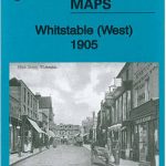 Whitstable West 1905
Central Nottingham 1899 – 42.02b
Whitstable West 1905
Central Nottingham 1899 – 42.02b
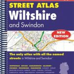 Wiltshire and Swindon Philip`s Street Atlas
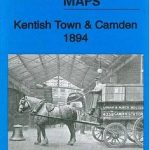 Kentish Town & Camden 1894 – 38.2
Kentish Town & Camden 1913 – 38.3
Wath upon Dearne 1901
Nottingham (Sherwood) 1899 – 38.10
Kentish Town & Camden 1894 – 38.2
Kentish Town & Camden 1913 – 38.3
Wath upon Dearne 1901
Nottingham (Sherwood) 1899 – 38.10
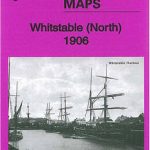 Whitstable (North) 1906 – 23.10
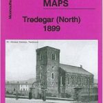 Tredegar North 1899
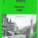 Taunton 1886 – Colour Edition
Kensal Green & West Kilburn 1865 – 47.1
Taunton 1886 – Colour Edition
Kensal Green & West Kilburn 1865 – 47.1
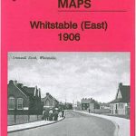 Whitstable East 1906
 Ebbw Vale (South) 1899 – 11.14
Plymouth North 1893
Lifford and Bournville 1903
Ebbw Vale (South) 1899 – 11.14
Plymouth North 1893
Lifford and Bournville 1903
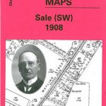 Sale South-West 1908
Kensal Green & Queen`s Park 1894 – 47.2
Bridport 1901
Swinton 1901
Maldon West 1920 – 55.16
Pontnewynydd 1899
Sale South-West 1908
Kensal Green & Queen`s Park 1894 – 47.2
Bridport 1901
Swinton 1901
Maldon West 1920 – 55.16
Pontnewynydd 1899
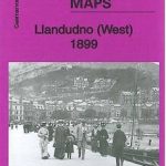 Llandudno (West) 1899 – 1.16
Central Croydon 1895 – 14.10
Llandudno (West) 1899 – 1.16
Central Croydon 1895 – 14.10
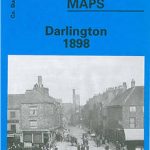 Darlington 1898 – 55.06a
 Tredegar South 1899