Disclosure : This site contains affiliate links to products. We may receive a commission for purchases made through these links.
Sweden Wall Map
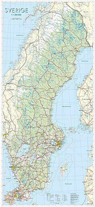
Sweden on a wall map at 1:1,000,000 from Norstedts, size 74x160cm (29″x63″ approx), showing the country’s road and rail networks on a base with very effective presentation of the landscape by satellite-based relief shading and colouring for woodlands, marshes, etc, plus plenty of spot heights, names of various topographic features and boundaries of national parks. Also marked are the boundaries of Sweden’s administrative provinces. Communications network extends to the adjoining areas of Denmark, Norway and Finland, but not the topographic information. Map legend is in Swedish only.


