Disclosure : This site contains affiliate links to products. We may receive a commission for purchases made through these links.
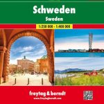
Sweden: Lantmรคteriet 250K Topographic Survey
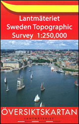
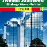
Topographic survey of Sweden at 1:250,000, the ร–versiktkartan, from the Lantmรคteriet on 21 double-sided maps each covering an area of 187.5 x 100km. Contour interval is 25m below 600 metres and 50m above 600m. Colouring and/or graphics indicate built up areas with under or over 200 inhabitants, forests, open land, alvar and marshes. Boundaries of national parks or nature reserves and restricted military zones are marked. The maps indicate privately maintained local roads, show railway lines with stations, etc. UTM grid is drawn a 10-km intervals, with latitude and longitude lines at 30โ€. Map legend includes English.PLEASE NOTE: southern and central Sweden is more conveniently covered at 1:250,000 by regional road maps from Norstedts Kartfรถrlaget with similar cartography (no contours or UTM grid) and tourist information.


