Disclosure : This site contains affiliate links to products. We may receive a commission for purchases made through these links.
Swartberg and Klein-Karoo
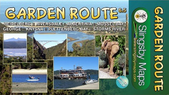
Swartberg and Klein-Karoo region on a contoured and GPS compatible, double-sided, waterproof and tear-resistant map at 1:160,000 from Slingsby Maps, with excellent topographic detail and plenty of tourist information, including street plans of ten main towns.The map provides a very detailed picture of this mountainous terrain, with altitude colouring, shading, contours at 20m intervals and numerous spot heights. For GPS navigation important road junctions and various other features are annotated with waypoints and the map has latitude and longitude lines at 5’ intervals. Road information is very finely graded, indicating road surface, private roads with public access, 4WD only tracks, cattle grids and game gates, locations of fuel supplies, etc. Also marked are routes found by publishers as enjoyable, or conversely as dull. Railway lines are shown with stations. For hikers the map indicates waymarked paths and shows other trails. A very wide range of symbols highlight various places of interest and tourist facilities: different types of accommodation from hotels to campsites, picnic places, farm stalls, wineries, restaurants, sport and recreational sites, animal viewing sites, etc.The map also includes street plans of ten of the region’s main towns: Laingsburg, Ladismith, Van Wyksdorp, Calitzdrop, De Rust, Oudtshoorn, Schoemanshoek, Prince Albert, Uniondale and Willowmore, all annotated with accommodation and other tourist facilities of places of interest.To see other titles in this series please click on the series link.


