Disclosure : This site contains affiliate links to products. We may receive a commission for purchases made through these links.
Surbiton & Long Ditton 1912 – 12.08
Surbiton and Long Ditton in 1912 in a fascinating series of reproductions of old Ordnance Survey plans in the Alan Godfrey Editions, ideal for anyone interested in the history of their neighbourhood or family. The map covers the centre of Surbiton, Surbiton Hill and parts of Long Ditton and Tolworth. Coverage extends from Surbiton Station and Victoria Road southward to Tolworth Park Road, and from St Mary`s church Long Ditton eastward to Red Lion Road. Features include railway with Surbiton station, St Matthew`s church, Christ Church, The Gables, Neals Farm, Tolworth Dairy Farm, tramways, isolation hospital, Southborough Park, St Mary`s church Long Ditton with Manor House, etc. On the reverse are street directories for Brighton Road and Ditton Road, plus a list of private residents for Long Ditton, from a 1905 directory.About the Alan Godfrey Editions of the 25″ OS Series:Selected towns in Great Britain and Ireland are covered by maps showing the extent of urban development in the last decades of the 19th and early 20th century. The plans have been taken from the Ordnance Survey mapping and reprinted at about 15 inches to one mile (1:4,340). On the reverse most maps have historical notes and many also include extracts from contemporary directories. Most maps cover about one mile (1.6kms) north/south, one and a half miles (2.4kms) across; adjoining sheets can be combined to provide wider coverage.FOR MORE INFORMATION AND A COMPLETE LIST OF ALL AVAILABLE TITLES PLEASE CLICK ON THE SERIES LINK.

Related Products:
 Thames Ditton 1895 – 12.07
North Surbiton and South Kingston 1932
Thames Ditton 1895 – 12.07
North Surbiton and South Kingston 1932
 Jarrow 1912
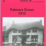 Palmers Green 1912 – 7.14a
Wood Green 1912 – 7.3
Willesden and Stonebridge Park 1936
Hampton Court & East Molesey 1912 – 12.13
Palmers Green 1912 – 7.14a
Wood Green 1912 – 7.3
Willesden and Stonebridge Park 1936
Hampton Court & East Molesey 1912 – 12.13
 Brentford 1912 – 83.3
 Gospel Oak 1912 – 28.2
 Croydon East: Coombe Park & Addiscombe Road 1895 – 158
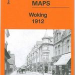 Woking 1912 – 17.09
 Hayes 1907
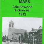 Cricklewood and Child`s Hill 1912
Swanage 1900
Cricklewood and Child`s Hill 1912
Swanage 1900
 Goodmayes and Seven Kings 1915
 Shortlands 1894
 Croydon NW 1895 – 154
 St. Andrews 1893 – 9.10
Sheffield Park 1903
St. Andrews 1893 – 9.10
Sheffield Park 1903
 North Hammersmith and Bedford Park 1912
Harborne South 1901
Hornsey 1894 – 12.2
North Hammersmith and Bedford Park 1912
Harborne South 1901
Hornsey 1894 – 12.2
 Epsom 1912
Bridport 1901
Epsom 1912
Bridport 1901
 Uckfield 1908
 Finsbury Park & Stroud Green 1912 – 20.3
 Wavertree and Broad Green 1905
 Garston 1905 – 113.12b
 Hornsey & Green Lanes 1935 – 12.4
Birmingham South 1913
Hornsey & Green Lanes 1935 – 12.4
Birmingham South 1913
 Twickenham & Petersham 1894 – 122
March Station 1900
Malvern Link 1926
Twickenham & Petersham 1894 – 122
March Station 1900
Malvern Link 1926
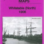 Whitstable (North) 1906 – 23.10
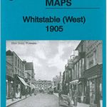 Whitstable West 1905
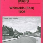 Whitstable East 1906
St Anthonys and Bill Quay 1912
Axminster 1903 – 72.05
Whitstable East 1906
St Anthonys and Bill Quay 1912
Axminster 1903 – 72.05
 Woolton 1904
Luton 1922 – 33.05
Woolton 1904
Luton 1922 – 33.05