Disclosure : This site contains affiliate links to products. We may receive a commission for purchases made through these links.
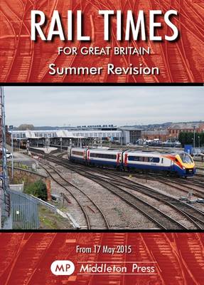
Summer Rail Times for Great Britain – May 2015 to December 2015

Related Products:
 Abbreviated Rail Times for Great Britain
 Abbreviated Rail Times for Great Britain: Principal Stations on Main Lines and Rural Routes
 Britains Rail Times Summer Revision: For Principal Stations on Main Lines and Rural Routes: 2016
 TRACKatlas of Mainland Britain: A Comprehensive Geographic Atlas Showing the Rail Network of Great Britain
 Great Britain: A-Z Road Atlas 2015 – A4, SPIRAL BOUND SUPERSEDED
 Great Britain: A-Z Handy Road Atlas 2015 – A5, SPIRAL BOUND SUPERSEDED
 Rail Atlas of Great Britain and Ireland: 15
 ABC Rail Guide 2015
 Rail Times
 European Rail Timetable Summer 2020
 European Rail Timetable Summer 2021
 Great Britain: Sustrans/CycleCity Cycling Maps of Great Britain & Northern Ireland
 Great Britain: Speede County Maps of Great Britain
 I Love the Seaside Great Britain & Ireland: The Surf & Travel Guide to Great Britain & Ireland
 The Times Golden Years of Rail Travel
 Great Britain: The Daily Telegraph Wall Map of Great Britain & Ireland (ENCAPSULATED)
 Great Britain: The Daily Telegraph Wall Map of Great Britain & Ireland
Bicentennial Geological Map of Britain 1815-2015 Wall Map
Great Britain: The Daily Telegraph Wall Map of Great Britain & Ireland
Bicentennial Geological Map of Britain 1815-2015 Wall Map
 The Somme: From the Times History of the Great War
 The Times: All Aboard!: Remembering Britain`s Railways
 Bicentennial Geological Map of Britain 1815-2015
 Giants of Steam: The Great Men and Machines of Rail`s Golden Age
 The Times Britain`s Best Walks: 200 classic walks from The Times
 Great British Pub Dogs: From Dachshunds to Great Danes, the Canine Residents of Britain`s Pubs
 100 Great Walks with Kids: Fantastic Stomps Around Great Britain
 Brutal Britain: Build Your Own Brutalist Great Britain
 Atlas of Britain – The Times
 One Hot Summer: Dickens, Darwin, Disraeli, and the Great Stink of 1858
 Britain`s Working Coast in Victorian and Edwardian Times
 I Should Know That: Great Britain: Everything You Really Should Know About GB
 The Times Great Letters: A century of notable correspondence
 All That is Solid: How the Great Housing Disaster Defines Our Times, and What We Can Do About it
 52 Times Britain Was a Bellend: The History You Didn`t Get Taught At School
Wild Times: Extraordinary Experiences Connecting with Nature in Britain
52 Times Britain Was a Bellend: The History You Didn`t Get Taught At School
Wild Times: Extraordinary Experiences Connecting with Nature in Britain
 Japan by Rail: Includes Rail Route Guide and 30 City Guides
 Britain`s Butterflies: A Field Guide to the Butterflies of Great Britain and Ireland – Fully Revised and Updated Fourth Edition
 Rail Guide 2019: Light Rail & Heritage Railway
 Great Britain Quiz Book
 I Should Know That: Great Britain: Everything You (and the Prime Minister) Really Should Know About GB
 Great Britain: Goldeneye Map Guides