Disclosure : This site contains affiliate links to products. We may receive a commission for purchases made through these links.
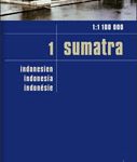
Sumatra – Medan Periplus Travel Map
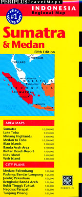
Sumatra on a double-sided map from Periplus combining a map the island with enlargements of its most visited areas and surrounding smaller islands, plus street plans of main towns, all annotated with places of interest.The maps have altitude colouring and relief shading to show the topography. Road network indicates distances on main routes. Ferry routes and local airports are marked. Numerous places of interest are highlighted, including beaches and diving sites. The map of the whole island has latitude and longitude lines at 2ยฐ intervals. The enlargements have no coordinates.Street plans and maps of the holiday resorts indicate main traffic arteries and highlight various places of interest and facilities including selected hotels and restaurants. Neither the maps nor the street plans are indexed. Map legend included English. – Sumatra at 1:3,000,000 – Banda Aceh area (1:700,000) with street plan of Banda Aceh plus a map of the Weh Island (1:200,000)- Medan – Lake Toba region (1:1,000,000) with street plan of Medan, plus an enlargement of the lake area including the Samosir Island (1:350,000) and plans of the holiday resorts at Parapat and Tuktuk. – Minang Highlands (1:400,000) with street plans of Bukittinggi and Padang- Riau Islands (1:500,000) with street plans of Nagoya on Batam plus the Bintan Beach Resort and Tanjung on Bintan- Nias Island (1:600,000) – additional street plans of Bengkulu, Pekanbaru, Jambi, Palembang and Bandar Lampung

Related Products:
 Sumatra ITMB
 Malaysia Periplus Travel Map
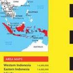 Indonesia Periplus Travel Map
 Hong Kong & Macau Periplus Travel Map
 Bali Periplus Travel Map
 Sri Lanka Periplus Travel Map
 Singapore Periplus Travel Map
 Peninsular Malaysia Periplus Travel Map
 Okinawa & the Ryukyu Islands Periplus Travel Map
 Java & Bali Periplus Travel Map
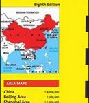 China Periplus Travel Map
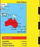 Australia Periplus Travel Map
 Shanghai Periplus Travel Map
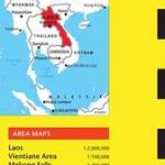 Laos Periplus Travel Map
 Indonesia: Periplus Regional Maps
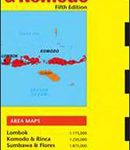 Lombok & Komodo Periplus Travel Map
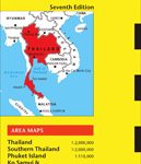 Thailand Periplus Travel Map
 India Periplus Travel Map
 Cambodia Periplus Travel Map
 Tokyo Periplus Travel Map
 Middle East ITMB Travel Atlas
 Western & Northern Canada ITMB Travel Atlas
 Caribbean Islands Western Half ITMB Travel Atlas
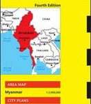 Myanmar / Burma Periplus Travel Map
 Sumatra Reise-Know-How Map
 Korea & Seoul Periplus Travel Map
 Lake Balaton Cartographia Leisure Map
 Thailand, Vietnam, Laos & Cambodia ITMB Travel Atlas
 Borneo, Java, Sumatra, & the Philippine Islands c.1900
 Lake Balaton II West Cartographia Water Sports & Cycling Map
 Costa Rica Travel Map
 Beijing Borch
 Lake Balaton Cartographia Tourist Map 4
 Gotland Norstedts Road Map
 Gran Canaria Marco Polo Holiday Map
 Polynesian Islands ITMB Travel Atlas
 Hawaiian Islands Borch
 Vietnam Periplus Travel Map
 Lisbon Borch