Disclosure : This site contains affiliate links to products. We may receive a commission for purchases made through these links.
Sudan ITMB
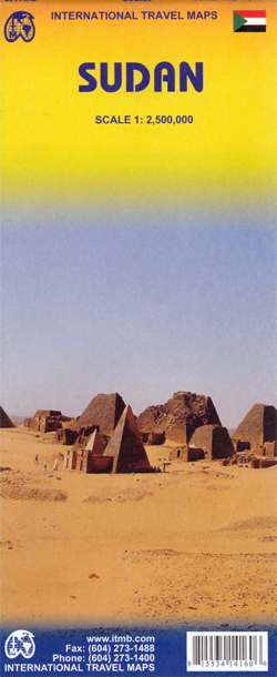
Sudan, before the separation of South Sudan as an independent country, on an indexed road at 1:2,500,000 from ITMB, with a small plan of Khartoum Relief is rendered through altitude colouring with spot heights and additional graphics show sand dunes, lava fields, salt flats, marshes and swamps, oases, wells and areas liable to seasonal flooding. Road detail includes unsurfaced roads and tracks, with intermediate driving distances on main routes, locations of petrol supplies and border crossings. Railways, local airfields and ferry connections on the northern section of the Nile are marked and internal administrative boundaries are shown with names of the provinces.National parks, wildlife reserves and other protected areas are highlighted and symbols mark archaeological sites, mosques and churches, campsites and other selected accommodation, etc. Latitude and longitude lines are drawn at 5ยบ intervals. The map is indexed and also includes a small street plan of central Khartoum indicating various facilities and places of interest.

Related Products:
 Sudan – South Sudan Gizi Map
 Sudan and South Sudan Wall Map
 Sudan – South Sudan Reise Know-How
 Costa Rica NGS Wall Map PAPER
 Guyana, Suriname & French Guiana ITMB
 Panama ITMB
 South America ITMB Travel Atlas
 Quito & Central Ecuador ITMB
 Bhutan & Northeast India ITMB
 Madagascar ITMB
 China West ITMB
 Mongolia ITMB
 Paraguay – Bolivia South ITMB
 Greece ITMB
 Mauritius & Reunion ITMB
 Central America ITMB
 Guatemala NGS Adventure Map 3110
 South Africa – Namibia – Botswana Hallwag Road Map
 India ITMB
 Algeria ITMB
 Mali & Mauritania ITMB
 Rwanda & Burundi ITMB
 Chile South & Patagonia ITMB
 Japan North & Hokkaido ITMB
 Sri Lanka & India South ITMB
 Costa Rica NGS Wall Map ENCAPSULATED
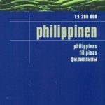 Philippines Reise Know-How
 Cuba NGS Adventure Map 3112
 Thailand ITMB
 Costa Rica NGS Adventure Map 3100
 Malaysia ITMB
 South America ITMB
 South America North ITMB
 Honduras Protected Areas Map
 Sierra Leone ITMB
 Angola Reise Know-How
 Senegal & Gambia ITMB
 Botswana F&B
 Kiev Administrative Region