Disclosure : This site contains affiliate links to products. We may receive a commission for purchases made through these links.
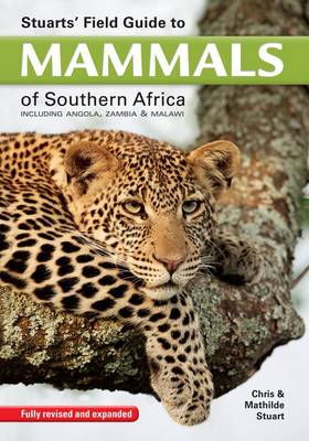
Stuart`s field guide to mammals of southern Africa: Including Angola, Zambia & Malawi

Related Products:
 Stuarts` field guide to the larger mammals of Africa
 Mammals of Southern Africa – Pocket Guide
 Field Guide to Repiles of Southern Africa
 Field Guide to Trees of Southern Africa
 Southern Africa: South Africa – Swaziland – Nambia – Botswana – Zambia
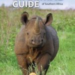
 The Wildlife of Southern Africa: A Field Guide to the Animals and Plants of the Region
 A Field Guide to the Larger Mammals of Tanzania
 The Kingdon Field Guide to African Mammals: Second Edition
 Ultimate Explorer Field Guide: Mammals
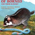 Phillipps Field Guide to the Mammals of Borneo (2nd edition)
 Field Guide to the Mammals of South-east Asia 2nd Edition
 Lonely Planet Zambia, Mozambique & Malawi
 Wildlife of Ecuador: A Photographic Field Guide to Birds, Mammals, Reptiles, and Amphibians
 Wildlife of Madeira and the Canary Islands: A Photographic Field Guide to Birds, Mammals, Reptiles, Amphibians, Butterflies and Dragonflies
 Field Guide to the Battlefields of South Africa
 Pocket Photo Guide to the Mammals of North Africa and the Middle East
 The Mammal Guide of Southern Africa
 Field Guide to the Birds of Southern India
 Field Guide to Wild Flowers of South Africa
 Common Trees and Shrubs of East Africa – Field Guide
 Field Guide to Common Trees and Shrubs of East Africa
 Stuarts` Field Guide to Game and Nature Reserves of East Africa
 Stuarts` Field Guide to National Parks and Nature Reserves of South Africa
 Field Guide to the Birds of East Africa: Kenya, Tanzania, Uganda, Rwanda, Burundi
 Guide to Seabirds of Southern Africa
 Mammal Guide of Southern Africa
 Frogs of Southern Africa: A complete guide
 Southern Africa: A Traveller`s Wildlife Guide
 Birds Of Southern Africa – The Complete Photographic Guide
 Zambia & Eastern Africa ITMB Road Map
 Nature Unpacked: The traveller`s ultimate bush guide to Southern Africa
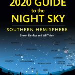 2020 Guide to the Night Sky Southern Hemisphere: A Month-by-Month Guide to Exploring the Skies Above Australia, New Zealand and South Africa
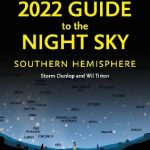 2022 Guide to the Night Sky Southern Hemisphere: A month-by-month guide to exploring the skies above Australia, New Zealand and South Africa
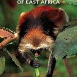 Mammals of East Africa
 The Impossible Five: In Search of South Africa`s Most Elusive Mammals
 Mammals of Europe, North Africa and the Middle East
 The Behaviour Guide to African Mammals
Southern Africa
The Behaviour Guide to African Mammals
Southern Africa
 Malawi Bradt Guide
 Africa: Birding Map of Southern Africa