Disclosure : This site contains affiliate links to products. We may receive a commission for purchases made through these links.
Streatham Hill & Tulse Hill 1894 – 126.2
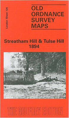
Streatham Hill and Tulse Hill in 1894 in a fascinating series of reproductions of old Ordnance Survey plans in the Alan Godfrey Editions, ideal for anyone interested in the history of their neighbourhood or family. Three versions cover this area, extending from Streatham Hill eastward to West Dulwich station, and from Brockwell Park southward to Idmiston Road. Features include Tulse Hill station, Knights Hill goods station, Knights Hill, Tulse Hill, Christchurch Road, Roupell Park, St Pancras Workhouse, Thurlow Park Road, Rosendale Road, Holy Trinity church. Each map includes directory extracts; those for 1894 version have street entries for Christchurch Road, Craster Road, Elm Park, Endymion Road, Medora Road, Streatham Hill and Tierney Road.About the Alan Godfrey Editions of the 25″ OS SeriesSelected towns in Great Britain and Ireland are covered by maps showing the extent of urban development in the last decades of the 19th and early 20th century. The plans have been taken from the Ordnance Survey mapping and reprinted at about 15 inches to one mile (1:4,340). On the reverse most maps have historical notes and many also include extracts from contemporary directories. Most maps cover about one mile (1.6kms) north/south, one and a half miles (2.4kms) across; adjoining sheets can be combined to provide wider coverage.FOR MORE INFORMATION AND A COMPLETE LIST OF ALL AVAILABLE TITLES PLEASE CLICK ON THE SERIES LINK.

Related Products:
 Streatham Hill & Tulse Hill 1914 – 126.3
 West Streatham & Tooting 1894 – 135a
Teddington & Hampton Hill 1894 – 131.2
West Twickenham & Strawberry Hill 1894 – 121a
West Streatham & Tooting 1894 – 135a
Teddington & Hampton Hill 1894 – 131.2
West Twickenham & Strawberry Hill 1894 – 121a
 Brixton & Herne Hill 1894 – 116.2
 Highgate 1894 – 19.2
 Upper Sydenham 1894 – 137.2
Blackheath & Greenwich Park 1894 – 105.2
Upper Sydenham 1894 – 137.2
Blackheath & Greenwich Park 1894 – 105.2
 North Shields & Chirton 1894
 Clapham Park & Balham 1894 – 125.2
Stoke Newington 1894 – 30.2
Clapham Park & Balham 1894 – 125.2
Stoke Newington 1894 – 30.2
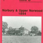 Norbury and Upper Norwood 1894
Hornsey 1894 – 12.2
Norbury and Upper Norwood 1894
Hornsey 1894 – 12.2
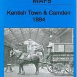 Kentish Town & Camden 1894 – 38.2
 West Twickenham & Strawberry Hill 1934 – 121b
 Wood Green 1894 – 7.2
Brixton & Herne Hill 1913 – 116.3
Wood Green 1894 – 7.2
Brixton & Herne Hill 1913 – 116.3
 Brixton & Herne Hill 1870 – 116.1
Thornton Heath and Norbury 1894
Brixton & Herne Hill 1870 – 116.1
Thornton Heath and Norbury 1894
 Euston & Regent`s Park 1894 – 49.2
West Norwood 1894 – 136.2
Euston & Regent`s Park 1894 – 49.2
West Norwood 1894 – 136.2
 Central Newcastle 1894 – 11a
 Beckenham South 1894
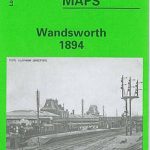 Wandsworth 1894 – 114a
 Ealing 1894
 Bermondsey & Wapping 1894 – 77.2
 Upper Edmonton 1894 – 3a
 Eltham Green 1894 – 120.2
Battersea & Clapham 1894 – 101.2
Eltham Green 1894 – 120.2
Battersea & Clapham 1894 – 101.2
 Ilford 1894
Felling 1894
Upper Holloway 1894 – 29.2
Ilford 1894
Felling 1894
Upper Holloway 1894 – 29.2
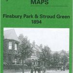 Finsbury Park and Stroud Green 1894
 Shortlands 1894
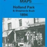 Holland Park & Shepherds Bush 1894 – 73.2
 Castle Douglas 1894
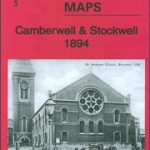 Camberwell & Stockwell 1894 – 102.2
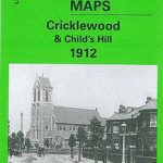 Cricklewood and Child`s Hill 1912
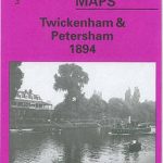 Twickenham & Petersham 1894 – 122
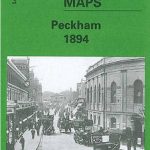 Peckham 1894 – 103.2