Disclosure : This site contains affiliate links to products. We may receive a commission for purchases made through these links.
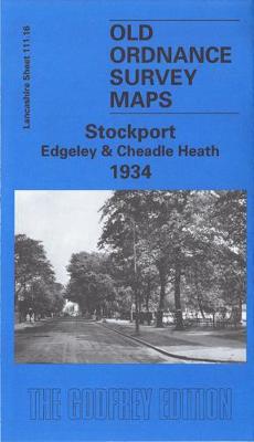
Stockport (Edgeley & Cheadle Heath) 1934 – 111.16c
Related Products:
 Stockport (Edgeley) 1916 – 111.16b
 Cheadle and Cheadle Heath 1897
 Cheadle (North) 1934 – 111.15b
 Stockport (North) 1934 – 112.09c
 Stockport (South) 1934 – 112.13b
 The Heath: My Year on Hampstead Heath
 Cheadle Hulme (North) 1907 – 19.06
 Stockport (North) 1917 – 112.09b
 Stockport – Altrincham & NE Cheshire 1912 – 98
 Denton 1934 – 105.14b
 Hyde 1934 – 112.03c
 Northenden 1934 – 111.14c
 Feltham 1934 – 20.13b
 Ashbourne, Cheadle and District 1895
 Heaton Chapel 1934 – 111.08c
 Withington, Ladybarn & Burnage 1934 – 111.07c
 Derby – Uttoxeter, Ashbourne & Cheadle OS Explorer Map 259 (paper)
 Derby – Uttoxeter, Ashbourne & Cheadle OS Explorer Active Map 259 (waterproof)
 Stockport East 1897
 Stockport (South) 1917 – 112.13
 Enbury Heath
 Stockport Town Centre 1873
 Thatto Heath 1906 – 107.08
 Newton Heath 1931 – 104.04c
 Small Heath & Sparkbrook 1913 – 14.10b
 Kings Heath 1937: Warwickshire Sheet 19.01
 Luneburg Heath Marco Polo Leisure Map 11
 Manchester & Salford – Oldham, Rochdale & Stockport OS Explorer Map 277 (paper)
 Cradley Heath & Old Hill 1881: Staffordshire Sheet 71.08a
 Wolverhampton (NE) & Heath Town 1913: Staffordshire Sheet 62.07c
 Small Heath & Sparkbrook 1888 – 14.10a Coloured Edition
 Manchester & Salford – Oldham, Rochdale & Stockport OS Explorer Active Map 277 (waterproof)
 Groote Peel – Strabrechtse Heath – Helenaveen ANWB Hiking Region Map
 Mid Finchley 1934
 Ealing 1934
 Carmyle 1934
 Central Glasgow 1934 – 6.10c
 South Ealing 1934 – 70.4
 Ashford (North) 1934 – 19.16
 Kempton Park & SW Hampton 1934 – 25.06


