Disclosure : This site contains affiliate links to products. We may receive a commission for purchases made through these links.
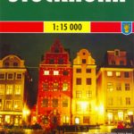
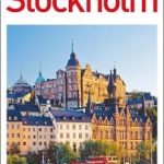
Stockholm Tourist Map
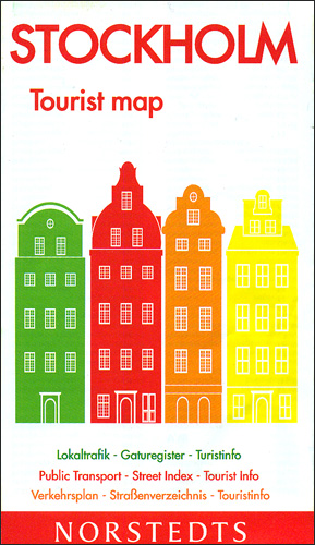
Stockholm on an indexed street plan at 1:13,000 from the Swedish publishers Norstedts with a more detailed enlargement of the historic Gamla Stan district, a list of places of interest, and a diagram of the transport network.The main plan covers the city with its outer districts, extending north to Solna and Hjorthagen, east to Nacka, south to Johanneshov, and west to Traneberg. Metro stations are shown with locations of entrances/exits, and tramlines with stops. For drivers, the plan indicates car parks, pedestrianized areas and charging points. Streets are annotated with selected house numbers for easier identification of addresses. Important buildings are highlighted and named, and symbols show various facilities including tourist information office, public toilets, etc. The city’s historic Gamla Stan ‘“ the Old Town, is presented in greater detail on an inset. Map legend includes English.The index is on the reverse, together with a list of useful addresses (visitors’ centres, museums and galleries, etc), plus a diagram of Stockholm’s public transport network.


