Disclosure : This site contains affiliate links to products. We may receive a commission for purchases made through these links.
Sticker Dressing-up Activity Books

Related Products:
 Ocean Animals Sticker Activity Book: Over 1,000 Stickers! (NG Sticker Activity Books)
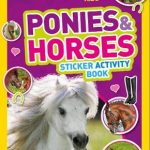 Ponies and Horses Sticker Activity Book: Over 1,000 Stickers! (NG Sticker Activity Books)
 On Safari Sticker Activity Book: Over 1,000 Stickers! (NG Sticker Activity Books)
 Sharks Sticker Activity Book: Over 1,000 Stickers! (NG Sticker Activity Books)
 Dinos Sticker Activity Book: Over 1,000 Stickers! (NG Sticker Activity Books)
 Super Space Sticker Activity Book: Over 1,000 Stickers! (NG Sticker Activity Books)
 Preschool Sticker Activity Books
Sticker Dressing
Preschool Sticker Activity Books
Sticker Dressing
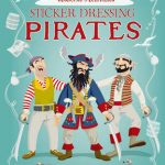 Sticker Dressing Pirates
Sticker Dolly Dressing
Sticker Dressing Pirates
Sticker Dolly Dressing
 Sticker Dolly Dressing Princesses
 Sticker Dolly Dressing Travel
 Princesses: Sticker Dolly Dressing
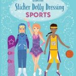 Sticker Dolly Dressing Sports
 Sticker Dolly Dressing Dancers
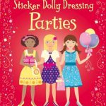 Sticker Dolly Dressing: Parties
 Sticker Dolly Dressing Action!
 Sticker Dolly Dressing – Best Friends
 Sticker Dolly Dressing at the Stables
 Sticker Dolly Dressing Ballerinas
 Sticker Dolly Dressing Ice Skaters
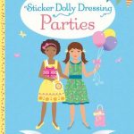 Sticker Dolly Dressing Parties
 Little Sticker Dolly Dressing Ballerina
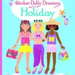 Sticker Dolly Dressing on Holiday
 Sticker Dolly Dressing Weddings
 Sticker Dolly Dressing Best Friends
 Little Sticker Dolly Dressing Mermaid
 Sticker Dollly Dressing Bridesmaids
 Little Sticker Dolly Dressing Unicorns
 Little Sticker Dolly Dressing Halloween
 Little Sticker Dolly Dressing Puppies
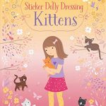 Little Sticker Dolly Dressing Kittens
Fluorescent Activity Books
Little Sticker Dolly Dressing Kittens
Fluorescent Activity Books
 Sticker Dolly Dressing Movie Stars
 Sticker Dolly Dressing Fashion Designer Pad
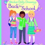 Sticker Dolly Dressing Back to School
 Little Sticker Dolly Dressing Snow Princess
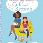 Sticker Dolly Dressing Cats and Kittens
 Little Sticker Dolly Dressing Fairytales Cinderella
 Sticker Dolly Dressing Winter Wonderland