Disclosure : This site contains affiliate links to products. We may receive a commission for purchases made through these links.
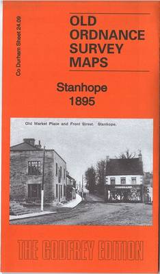
Stanhope 1895 – 24.09

Related Products:
 Consett & Derwent Reservoir – Stanhope OS Explorer Map 307 (paper)
 Consett & Derwent Reservoir – Stanhope OS Explorer Active Map 307 (waterproof)
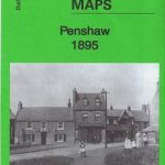 Penshaw 1895 – 13.07
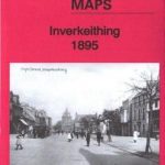 Inverkeithing 1895 – 43.02
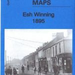 Esh Winning 1895 – 26.02
 Wolsingham 1895 – 25.13
 Pendle 1895 – 68
 Rossendale 1895 – 76
 Teesside 1895 – 33
 The Potteries 1895 – 123
 Ryton 1895 – 1.12
 Whitburn 1895 – 4.15
 Dunfermline 1895 – 39.05
 Shiney Row & Bournmoor 1895 – 13.11
 Harraton & Fatfield 1895 – 13.06
 Old Marley Hill 1895 – 6.14
 Ushaw Moor 1895 – 26.03
 Lumley Castle 1895 – 13.14
 Monkwearmouth & Southwick 1895 – 8.10
 Central Westmorland 1895 – 39
 Coniston & Ambleside 1895 – 38
 South Hylton 1895 – 7.16
 Fencehouses & New Lambton 1895 – 13.15
 Cox Green & Washington Station 1895 – 13.03
 Lobley Hill & Low Streetgate 1895 – 6.07
 Newbottle – Philadelphia & New Herrington 1895 – 13.12
 Hull & North Lincolnshire 1895 – 80
 Goole – Howden & District 1895 – 79
 Derby Derwent & Erewash 1895 – 125
 Shap – Ullswater & Appleby 1895 – 30
 Carlisle & The Solway Firth 1895 – 17
 Tynemouth – Sunderland & the NE Coalfield 1895 – 15/21
 Corfe Castle & SE Purbeck 1895 – 343
 Wrekenton & Eighton Banks 1895 – 7.09
 Heworth – Pelaw & Wardley 1895 – 7.02
 Jarrow 1895: Tyneside Sheet 14a
 New Silksworth, Tunstall & Ryhope Colliery 1895 – 14.06
 Jesmond 1895
Low Fell 1895
Renfrew 1895
Jesmond 1895
Low Fell 1895
Renfrew 1895