Disclosure : This site contains affiliate links to products. We may receive a commission for purchases made through these links.
Springburn and Possilpark 1893

Springburn and Possilpark in 1893 in a fascinating series of reproductions of old Ordnance Survey plans in the Alan Godfrey Editions, ideal for anyone interested in the history of their neighbourhood or family. Two versions have been published for this area. The map is dominated by the North British Railway, which runs north-south through it. The 1910 version includes Eastfield engine sheds, Cowlairs Works, the Cowlairs Junctions, Possil Junction, and part of the Sighthill Branch with Springburn station. East of the railway is Springburn itself with Springburn Park, and Stobhill General Hospital is in the top right corner. West of the railway the map covers part of Possil Park, with Clydesdale Iron Works, Saracen Foundry, Keppoch Iron Works, Possil Iron Works, etc. Tramways are also shown, with a tram depot on Hawthorn Street. The area is less built up on the 1893 version. Selections of street directory entries are on the reverse of both maps. About the Alan Godfrey Editions of the 25″ OS Series:Selected towns in Great Britain and Ireland are covered by maps showing the extent of urban development in the last decades of the 19th and early 20th century. The plans have been taken from the Ordnance Survey mapping and reprinted at about 15 inches to one mile (1:4,340). On the reverse most maps have historical notes and many also include extracts from contemporary directories. Most maps cover about one mile (1.6kms) north/south, one and a half miles (2.4kms) across; adjoining sheets can be combined to provide wider coverage.FOR MORE INFORMATION AND A COMPLETE LIST OF ALL AVAILABLE TITLES PLEASE CLICK ON THE SERIES LINK.

Related Products:
 Middlesbrough North 1893 (Colour Edition)
Glasgow East End 1893
Middlesbrough North 1913
Middlesbrough North 1893 (Colour Edition)
Glasgow East End 1893
Middlesbrough North 1913
 Plymouth North 1893
 North Hammersmith & Bedford Park 1893 – 72.2
 St. Andrews 1893 – 9.10
Kelvinside 1893
Glasgow North East 1893
Devonport North 1893
St. Andrews 1893 – 9.10
Kelvinside 1893
Glasgow North East 1893
Devonport North 1893
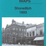 Shoreditch 1893 – 51.2
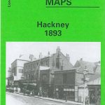 Hackney 1893 – 41.2
Central Glasgow 1893 – 6.10a
Hackney 1893 – 41.2
Central Glasgow 1893 – 6.10a
 Wandsworth Common 1893 – 124b
Devonport South and Stonehouse 1893
Leytonstone 1893 – 23.2
Wandsworth Common 1893 – 124b
Devonport South and Stonehouse 1893
Leytonstone 1893 – 23.2
 London Bridge Station 1872-1893
Wishaw 1896
London Bridge Station 1872-1893
Wishaw 1896
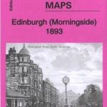 Morningside 1893 – 3.15
Wanstead Flats 1893
Trafford Park South 1937
Stockton (North) 1899 – 50.12a
South Bank and Grangetown North 1927
Morningside 1893 – 3.15
Wanstead Flats 1893
Trafford Park South 1937
Stockton (North) 1899 – 50.12a
South Bank and Grangetown North 1927
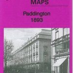 Paddington 1893 – 60.2
Coatbridge 1910 – 7.12b
Coatbridge 1897
Paddington 1893 – 60.2
Coatbridge 1910 – 7.12b
Coatbridge 1897
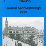 Central Middlesbrough 1913 – 6.14b
Sheffield (North) 1903 – 294.04b
Coatdyke 1897 – 8.09
Central Middlesbrough 1913 – 6.14b
Sheffield (North) 1903 – 294.04b
Coatdyke 1897 – 8.09
 Falkirk 1898
Manchester North West and Central Salford 1915
Oxford, Witney and District 1893
Attercliffe 1903 – 295.01a
Falkirk 1898
Manchester North West and Central Salford 1915
Oxford, Witney and District 1893
Attercliffe 1903 – 295.01a
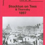 Stockton on Tees & Thornaby 1897 – 50.16a
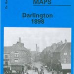 Darlington 1898 – 55.06a
 Workington North 1923
Consett 1896
Openshaw 1905
Workington North 1923
Consett 1896
Openshaw 1905
 Openshaw 1916
Mossend 1939 – 12.05
Bilston 1884 – 62.16a Coloured Edition
Openshaw 1916
Mossend 1939 – 12.05
Bilston 1884 – 62.16a Coloured Edition