Disclosure : This site contains affiliate links to products. We may receive a commission for purchases made through these links.
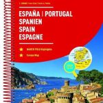
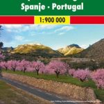
Spain & Portugal ITMB
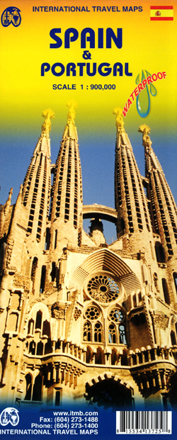
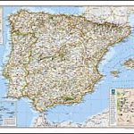
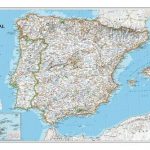
Spain with Portugal at 1:900,000 on a large, double-sided, indexed map printed on waterproof and tear-resistant plastic paper. Altitude colouring presents the topography of the Iberian Peninsula, with plenty of names of sierras, etc. However, elevation tints are graded in the legend as shown in feet, peak heights are given on the map in metres, and the two do not match even when converted!The map divides the region east/west with hardly any overlap between the two sides and shows its road and rail networks, stressing motorway and principal routes. Various places of interest are highlighted. The map has faint latitude and longitude lines at intervals of 1ยฐ.


