Disclosure : This site contains affiliate links to products. We may receive a commission for purchases made through these links.
Southern Thailand
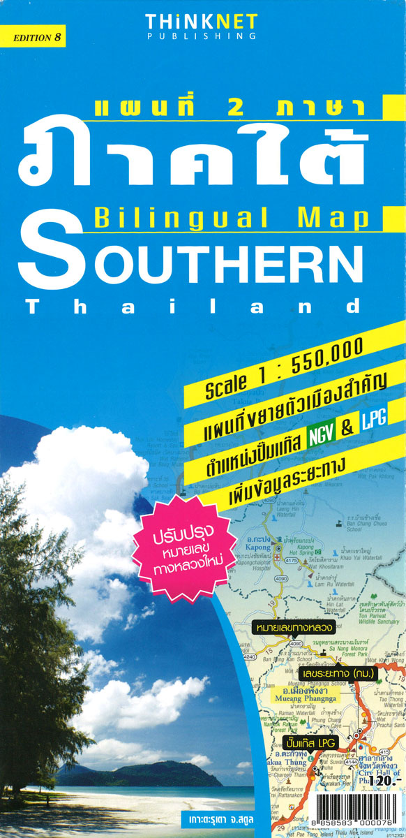
Southern Thailand at 1:550,000 in a series of regional road maps of Thailand from the Bangkok based ThinkNet, with an enlargement showing Ko Samui Island in greater detail. Also provided ar, plus plans of Krabi, Phangnga, and Hat Yai – Songkhla. All information is bilingual, shown in Thai and English.The map covers southern Thailand from Prachuap Khiri Khan province to the Malaysian border, divided north-west / south-east with a generous overlap. Road and rail networks are shown on a base with colouring indicating the country’s administrative provinces. The map offers no topographic information beyond rivers and lakes. Road network does not give driving distances but does indicate locations of petrol stations. The map is indexed and has latitude and longitude lines are drawn at intervals of 30’. Map legends are in English. No information is provided outside Thailand’s borders.Both the main map and the city plans have very extensive bilingual overprint highlighting not only various places of interest but also public buildings and/or facilities such as schools, medical centres, etc. PLEASE NOTE: place names on maps in this series, apart from names of administrative units, are in print size significantly smaller than usually found on most road maps. All the information is clearly legible, but it’s not always easy to locate main towns. To see the list of titles in this series please click on the series link.

Related Products:
 Northern Thailand
 North-Eastern Thailand
 Central and Eastern Thailand
Thailand: ThinkNet Regional Road Maps
Central and Eastern Thailand
Thailand: ThinkNet Regional Road Maps
 Chiang Mai and Nearby Provinces
 Thailand F&B
 Bangkok & Thailand South ITMB
 Thailand Borch
 Thailand Adventure Map
 Thailand Reise Know-How
 Thailand Handy Road Atlas
 Thailand, Vietnam, Laos & Cambodia ITMB Travel Atlas
 Thailand ITMB
 Thailand – Vietnam – Myanmar / Burma – Cambodia – Laos Marco Polo Map
 Southern Vietnam – Mekong Delta ITMB
 Thailand Periplus Travel Map
 Southern Norway South – Oslo – Stavanger – Bergen – Hardangervidda Cappelen Sectional Road Map
 Thailand Nelles
 Southern Sweden and Norway Adventure Map
 Northern and Southern Moravia
 Southern France Adventure Map
 A Naturalist`s Guide To Butterflies of Malaysia (2nd edition): Peninsular Malaysia, Singapore and Southern Thailand
 Southern Norway North – Oslo – Bergen – Rondvassbu – Galdhopiggen Cappelen Sectional Road Map
 USA – Southern Canada Marco Polo Road Atlas A4 SPIRAL-BOUND
 Thailand Periplus Travel Atlas
 Southern Pomerania – North Eastern Wielkopolska
 Southern Gรถtaland Norstedts Regional Map 1
 Southern Rockies – Arizona – Colorado – New Mexico – Utah Michelin Zoom 175
 Southern England A-Z Regional Road Atlas
 Beijing Borch
 Southern East Prussia / Mazurian Lakes
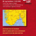
 Southern Norway South: Oslo – Stavanger – Bergen – Hardangervidda NP
 Northern Svealand – Southern Norrland Norstedts Regional Map 4
 Southern Balkans F&B Superatlas SPIRAL-BOUND
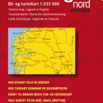
 Southern Norway North: Sognefjorden – Jotunheimen NP – Rondane NP – Trondheim
 Southern England – Wales Reise Know-How
 California Southern Easy to Fold Rand McNally
 Southern Lakes: Queenstown, Wanaka, Cromwell, Alexandra
 Southwest – Southern Rockies USA 06 Hallwag Road Map
Southern Sweden and Norway Reise Know-How
Southwest – Southern Rockies USA 06 Hallwag Road Map
Southern Sweden and Norway Reise Know-How