Disclosure : This site contains affiliate links to products. We may receive a commission for purchases made through these links.
Southern Quebec ITMB
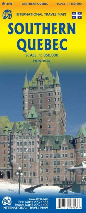
Southern part of the Quebec Province from North Bay in Ontario to the eastern tip of the De Gaspรฉ Peninsula, on a double-sided, indexed map at 1:850,000 from ITMB, with an enlargement for the Montreal ‘“ Laval area, plus a street plan of Montreal’s downtown district. Coverage, with a small overlap between the sides, extends north to James Bay in the north-west and Ile-Rene-Levasseur on the eastern half of the map. The map shows the region’s road and rail networks, indicating toll highways and showing driving distances on selected main routes. Symbols mark various facilities and places of interest, with provincial parks prominently highlighted. The map has latitude and longitude lines at 1ยบ intervals and is indexed.Inset panels show main traffic arteries across Montreal ‘“ Laval area, plus a detailed and informative street plan of Montral’s central districts highlighting selected hotels, important buildings, etc.

Related Products:
 Montreal & Southern Quebec ITMB
 Southern Ontario ITMB
 Quebec & Ontario ITMB Travel Atlas
 Quebec Michelin 760
 Southern Vietnam – Mekong Delta ITMB
 Sri Lanka & India South ITMB
Quebec Province Pocket Road Atlas
Sri Lanka & India South ITMB
Quebec Province Pocket Road Atlas
 Helsinki & Southern Finland ITMB
 Philadelphia & Mid-Atlantic States ITMB
 Kyoto & Japan West ITMB
 Bangladesh & India East ITMB
 Rome & Southern Italy ITMB
 Sao Paulo & Brazil South Coast ITMB
 Buenos Aires & Argentina North East ITMB
Sydney & Australia East ITMB
Buenos Aires & Argentina North East ITMB
Sydney & Australia East ITMB
 Los Angeles & Southern California ITMB
 Lima & Central Peru ITMB
 Montreal Flexi Map OUT OF PRINT
 Africa Southern ITMB
 Santiago & Chile North ITMB
 India North East & Kolkata / Calcutta ITMB
 Osaka & Western Japan ITMB
 Auckland & North Island ITMB
 Barcelona & Catalonia ITMB
 Uganda ITMB
Brazil ITMB
Zambia & Eastern Africa ITMB Road Map
Uganda ITMB
Brazil ITMB
Zambia & Eastern Africa ITMB Road Map
 Hanoi – Vietnam North ITMB
 Belarus ITMB
 Paris & France North ITMB
 Brazil HARDCOVER ITMB
 Quito & Central Ecuador ITMB
 Bhutan & Northeast India ITMB
 Afghanistan ITMB
 Oslo / Bergen & South of Norway ITMB
 North Island – Eastern & Southern Kiwimaps
 Delhi & Northern India ITMB
 Hungary & Budapest ITMB
 Munich & Bavaria ITMB