Disclosure : This site contains affiliate links to products. We may receive a commission for purchases made through these links.
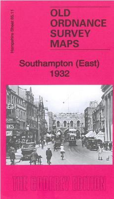
Southampton (East) 1932 – 65.11b
Related Products:
 Southampton (Portswood & Highfield) 1932 – 65.03
 Southampton NE (Bevois Town & Bitterne) 1932 – 65.07
 Stanford`s Chart of the Solent, Spithead and Southampton Water (1932) – A2 Wall Map, Canvas
 Stanford`s Chart of the Solent, Spithead and Southampton Water (1932) – A1 Wall Map, Canvas
 Stanford`s Chart of the Solent, Spithead and Southampton Water (1932) – A3 Wall Map, Paper – Print on Demand
 Stanford`s Chart of the Solent, Spithead and Southampton Water (1932) – A3 Wall Map, Canvas – Print on Demand
 Stanford`s Chart of the Solent, Spithead and Southampton Water (1932) – A2 Wall Map, Paper – Print on Demand
 Stanford`s Chart of the Solent, Spithead and Southampton Water (1932) – A1 Wall Map, Paper – Print on Demand
 Stanford`s Chart of the Solent, Spithead and Southampton Water (1932) – Original Size Wall Map, Canvas
 Stanford`s Chart of the Solent, Spithead and Southampton Water (1932) – Original Size Wall Map, Paper – Print on Demand
 Southampton (East) 1908 – 65.11a
 Manchester (SW) 1932 – 104.10c
 Moss Side 1932 – 104.14c
 Salford Docks & Ordsall 1932 – 104.09c
 Southampton (West) 1931 – 65.10b
 Southampton Docks 1931 – 65.15b
 Southampton NW (Shirley & Freemantle) 1931 – 65.06
 Southampton (Upper Shirley) 1931 – 65.02
 Southampton – Portsmouth A-Z Street Atlas
 Chadderton North 1932
 Manchester SE & Ardwick 1932 – 104.11b
 North Surbiton and South Kingston 1932
 Lovers at the Chameleon Club, Paris 1932: A Novel
 Henri Cartier-Bresson: Photographs 1932-1946
 Y37 Southampton Water
 East Frisia – East Frisian Islands Marco Polo Leisure Map 05
 Southampton Water 1884
 Southampton A-Z Pocket Street Map
 Southampton A-Z Street Atlas
 Southampton A-Z Street Plan Wall Map
 Admiralty Chart 2041 – Port of Southampton
 St James Way: A pilgrim way from Reading to Southampton, A Camino in England
 SHOM Chart 7647 – The Solent et Southampton Water
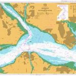 Admiralty Chart 2036 – The Solent and Southampton Water
 Admiralty Chart 2038 – Southampton Water and Approaches
 The Solent, Isle of Wight, Southampton & Portsmouth OS Landranger Map 196 (paper)
 Southampton – Eastleigh – Fawley – Hythe – Romsey A-Z Street Atlas
 Admiralty Chart 8002 – Southampton Port Approach Guide
 The Solent, Isle of Wight, Southampton & Portsmouth OS Landranger Active Map 196 (waterproof)
 SHOM Chart 7647L – The Solent et Southampton Water – Leisure A4 size


