Disclosure : This site contains affiliate links to products. We may receive a commission for purchases made through these links.
South-Western Nicaragua – Masaya – Granada
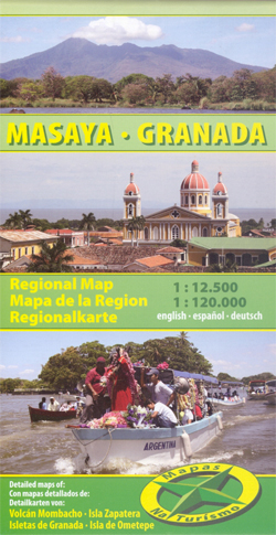
South-Western Nicaragua map at 1:120,000 from Mapas NaTurismo, covering the area west of Lago Nicaragua between Managua and Rivas with, on the reverse, street plans of Masaya and Granada, plus enlargements for Volcรกn Mombacho, Isletas de Granada and Isla Zapatera.On one side is an indexed road map at 1:120,000 covering the area west of Lago Nicaragua between Managua and Rivas. Isla de Ometepe is included as an inset. Relief shading and altitude colouring provides very clear presentation of the terrain. Road network includes local tracks and shows locations of fuel supplies. Symbols mark locations with tourist accommodation, beaches and surfing sites, protected area including turtle reserves, etc. The map has a UTM grid and its legend includes English. On the reverse are street plans of Masaya and Granada at 1:12,500, both highlighting tourist accommodation and various facilities and places of interest, plus enlargements for Volcรกn Mombacho and the surrounding area, Isletas de Granada and Isla Zapatera, all at 1:60,000.* Please note: the same map is also available with on the reverse an aerial photo of the environs of Masapete, plus a street plan of Masapete.

Related Products:
 Moon Nicaragua
 Rio San Juan: Nicaragua – Costa Rica Border Regions
 Lonely Planet Nicaragua
 Granada Michelin City Map
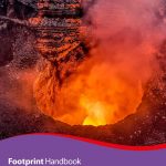
 Nicaragua Footprint Handbook
 Andalucia – Costa del Sol – Seville – Cordoba – Granada Marco Polo Map
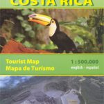 Costa Rica
 Nicaragua – Honduras – El Salvador NGS Adventure Map 3109
 Nicaragua
 Nicaragua – Honduras – El Salvador Reise Know-How
 South From Granada
 Nicaragua & Honduras ITMB
 Granada Province 200K CNIG Map No. 19
 Granada & Sierra Nevada
 Nicaragua – Culture Smart!
 South Western Bohemia
Granada Sur
South Western Bohemia
Granada Sur
 Costa Rica, Nicaragua & Panama Footprint Handbook
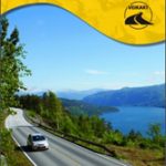 South Norway South: Oslo – Stavanger – Bergen – Hardangervidda
 South Africa – Namibia – Botswana – Zimbabwe Nelles
 Costa del Sol and Granada Marco Polo Guide
 Osaka & Western Japan ITMB
 Andalucia – Costa del Sol – Cordoba – Granada ADAC Holiday Map
 Flag of Nicaragua
 Rick Steves Snapshot Sevilla, Granada & Andalucia (Sixth Edition)
 Bavaria South Marco Polo Regional Map 13
 Latgale South Jana Seta Tourist Map
 Kurzeme South Jana Seta Tourist Map
 Southeast USA – The South & Florida Borch
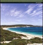 South West Western Australia Hema
 Andalucรญa East: Granada – Almerรญa – Murcia 500K CNIG Regional Map No. 12
 Volcรกn Villarrica – Lago Caburgua
 South Island with 6 Town Centre Kiwimaps
 South America – The Andes Nelles
 Central America Nelles
 Guangzhou & China South ITMB
 Argentina ACA Regional Zone 9 – Patagonia South
 Accra & Ghana South ITMB
Sri Lanka & India South ITMB
Accra & Ghana South ITMB
Sri Lanka & India South ITMB
 South Africa F&B