Disclosure : This site contains affiliate links to products. We may receive a commission for purchases made through these links.
South Norway South: Oslo – Stavanger – Bergen – Hardangervidda
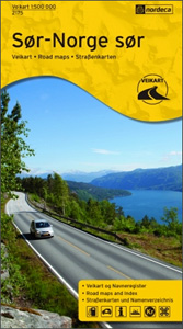
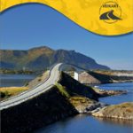
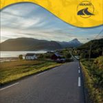
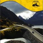
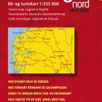
South Norway South ‘“ the southern part of the country including Oslo, Bergen, Stavanger and the Hardangervidda National Park, on an indexed road map at 1:500,000 from Nordeca showing locations of petrol and various types of vehicle charging stations, national tourist routes, tourist cabins and campsites, etc. Each title in this series has on the reverse a list of tourist offices, a distance table and other useful information, and together with its index booklet is supplied in a special card wallet with a magnetic closing strip. Topography is presented by altitude colouring with plenty of names of mountain ranges, valleys, fjords, etc. Road network highlights the country’s special National Tourist Routes and indicates roads not suitable for caravans. The maps have no geographical coordinates. Map legend and the text on the reverse side include English.IMPORTANT – PLEASE NOTE: the maps show a large number of smaller towns and villages but do not indicate their locations by a dot or a similar marker, so in many cases it is impossible to tell where along a road, or even on which road they are situated. Similarly, locations of petrol and charging stations are not precisely marked, and tourist huts do not indicate from which road they can be best accessed.To see the other titles in this series please click on the series link.

Related Products:
 Southern Norway South: Oslo – Stavanger – Bergen – Hardangervidda NP
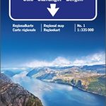
 Southern Norway South – Oslo – Stavanger – Bergen – Hardangervidda Cappelen Sectional Road Map
 Norway South – Oslo – Bergen – Stavanger F&B
 South Norway North: Hamar – Jotunheimen NP – Rondane NP – Trondheim
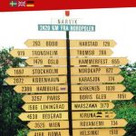
 North Norway South: Mo i Rana ‘“ Bodรธ ‘“ Narvik – Tromsรธ
 Oslo / Bergen & South of Norway ITMB
 Norway South – Oslo – Stavanger – Bergen K+F Regional Road Map
 Norway Nordeca Road Map
 Central Norway: Dombas – Trondheim – Namsos – Mo i Rana
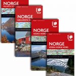
 Norway: Nordeca 500K Regional Road Maps
 North Norway North: Tromsรธ ‘“ Hammerfest – Kirkenes
 Southern Norway North – Oslo – Bergen – Rondvassbu – Galdhopiggen Cappelen Sectional Road Map
 Southern Norway North: Sognefjorden – Jotunheimen NP – Rondane NP – Trondheim
 Central Norway: Trondheim – Mo i Rana
 Central and North Norway: Bodรธ – Lofoten
 North Norway: Narvik – Tromsรธ ‘“ Hammerfest – Vadsรธ
 Norway: Norstedts Regional Road Maps
 Oslo Nordmark South Nordeca 2826
 Vilnius South West and Its Environs
Vilnius South East and Its Environs
Vilnius South West and Its Environs
Vilnius South East and Its Environs
 Norway Central – Oslo – Bergen – Alesund K+F Regional Map
 Zemplen Hills South Cartographia Tourist Map 23
 Norway South Reise Know-How
 Finland South Karttakeskus Road Map
 Latgale South Jana Seta Tourist Map
 Kurzeme South Jana Seta Tourist Map
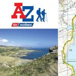 South West Coast Path 4 – South Devon Adventure Atlas
 South West Coast Path 3 – South Cornwall A-Z Adventure Atlas
 Norway Cappelen Motorcycle Map-Set
 Estonia South-West Regio Map
 South Africa Giant Road Map
 South Westland: Aoraki/Mount Cook, Lake Tekapo, Twizel
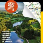 Estonia South-East Regio Map
 Otago – South Canterbury: Timaru, Oamaru, Wanaka, Alexandra
 Iceland South-West IDNU 2
 Iceland South-East IDNU 4
Sri Lanka & India South ITMB
Iceland South-East IDNU 4
Sri Lanka & India South ITMB
 Poland South West Michelin Regional 557
 New South Wales Hema