Disclosure : This site contains affiliate links to products. We may receive a commission for purchases made through these links.
South Jutland and Funen – Esbjerg – Odense
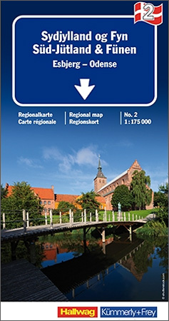
The southern part of Jutland with Funen and the smaller adjoining islands including Als, รrรธ, Langeland and Samsรธ presented on a large, waterproof and tear-resistant, double-sided, indexed road map at 1:175,000 from Hallwag Kรผmmerly + Frey. Coverage, with an overlap between the sides, extends on Jutland northwards to ร…rhus, and south of the border within Germany includes the Friesian islands of Sylt, Fรถhr and Amrum with the mainland.Road network, graded into six types, shows motorway junctions with their numbers and names, indicates motorway services and gives driving distances on main, secondary and selected local routes. Also marked are roads closed to motorized traffic and/or not recommended for caravans. Scenic routes are highlighted. Railway lines are shown with stations and ferry connections are marked. Symbols mark various places of interest including campsites and youth hostels. The map has latitude and longitude lines at 10’ intervals and is indexed. Map legend includes English.

Related Products:
 Denmark South – Kolding – Copenhagen – Bornholm K+F Regional Road Map
 Denmark West – Skagen – Aarhus – Esbjerg – Odense
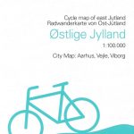
 Jutland South – Funen Cycling Map
 Sweden South Reise Know-How
 South Jutland Nordisk Cycling Map 7/8
 Mallorca South Reise Know-How
 Oslo / Bergen & South of Norway ITMB
 Denmark South – Kolding – Copenhagen – Bornholm
 Norway South Reise Know-How
 Poland South
 Portugal & South of Spain ITMB
 Southern Balkans F&B Superatlas SPIRAL-BOUND
 Southern Norway South – Oslo – Stavanger – Bergen – Hardangervidda Cappelen Sectional Road Map
 Southern Norway South: Oslo – Stavanger – Bergen – Hardangervidda NP
 East Jutland Cycling Nordisk Map 4/8
 West Jutland Nordisk Cycling Map 6/8
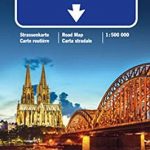 Germany South K+F Road Map
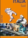 Italy South Michelin Regional 564
 Funen Cycling Nordisk Map 3/8
 England South & Wales ITMB
 Austria F&B Road Atlas
 Slovenia F&B
 Italy North K+F Road Map
 Brazil ITMB
 Nordland and South Troms – Bronnoysund – Bodo – Narvik Cappelen Sectional Road Map
 Italy K+F Double-Sided Road Map
 South Africa Giant Road Map
 South Africa – Namibia – Botswana Hallwag Road Map
 Aruba
Aruba
 Finland South Karttakeskus Road Map
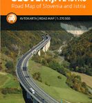 Slovenia – Istria
 Pyrenees Reise Know-How
 Limburg South: Hasselt – Maastricht
Bavaria South – Munich – Upper Bavaria K+F Road Map 8
Limburg South: Hasselt – Maastricht
Bavaria South – Munich – Upper Bavaria K+F Road Map 8
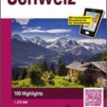 Switzerland 3in1 Flash Guide
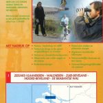 Delta South: Middelburg – Dutch Flanders
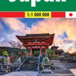 Japan F&B
 Northern Jutland Nordisk Cycling Map 5/8
 Slovenia F&B Top 10 Tips
 Brazil HARDCOVER ITMB