Disclosure : This site contains affiliate links to products. We may receive a commission for purchases made through these links.
South East & Central England A-Z Wall Map PAPER
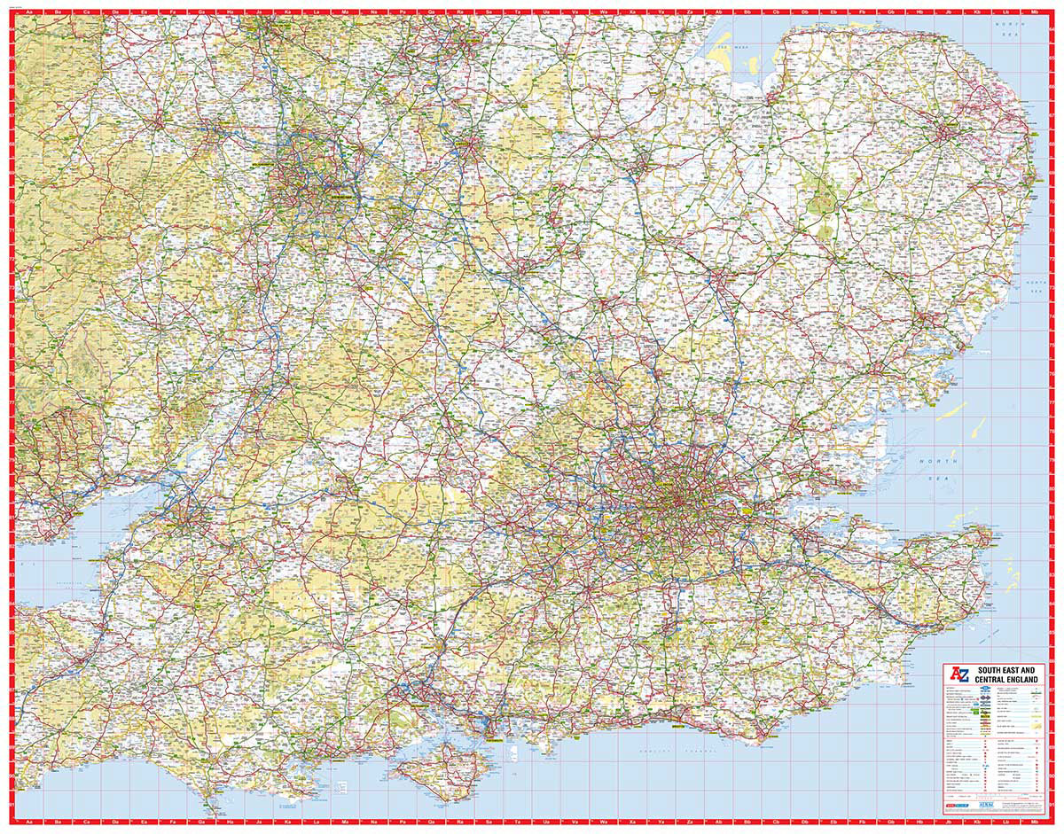
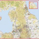
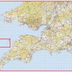
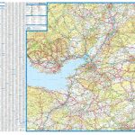
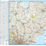
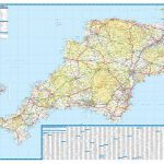
South East & Central England at 1:316,800 (5 miles to 1 inch) on an indexed road map from A-Z. Coverage extends west to Cardiff and north to Stoke-on-Trent, Derby and Nottingham. The index is in a separate booklet attached to the map cover. Current edition of this title was published in 2014.Maps in this ‘Five miles to 1 inch” series from A-Z show areas above 400 feet (122 metres) and woodlands by colouring and relief shading; spot heights are in feet. The colouring of the road network clearly distinguishes between primary routes and other A roads, with B roads also easy to follow on all backgrounds. The maps are primarily designed for route planning, so smaller country roads are perhaps less clear to see, with the publishers recommending their alternative series for more detailed local coverage (please search for SI00000215 or SI00000882). Railway lines are included and shown with stations, but at times difficult to find. A wide range of symbols highlight numerous places of interest. Each map has British National Grid lines and is indexed. IMPORTANT – PLEASE NOTE: many place names and all additional tourist information is in very small lettering, requiring good eyesight or a magnifying glass. To see the list of titles in this series please click on the series link.

Related Products:
 Northern England A-Z Wall Map PAPER
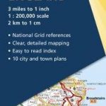
 South West England & South Wales A-Z Road Map
 Scotland North & South A-Z Wall Map PAPER
 Scotland North & South A-Z Road Map
 South East England – Midlands – East Anglia Michelin Regional 504
Great Britain: A-Z Five Miles to One Inch Wall Maps
South East England – Midlands – East Anglia Michelin Regional 504
Great Britain: A-Z Five Miles to One Inch Wall Maps
 Great Britain: A-Z Five Miles to One Inch Road Maps
 South West England & South Wales A-Z Wall Map PAPER
 Glasgow – Edinburgh & Central Scotland A-Z Wall Map PAPER
 An Atlas of the Railways in South West and Central Southern England
 South East England AA Road Map
 Wales – South West England – Midlands Michelin Regional 503
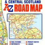 Glasgow – Edinburgh & Central Scotland A-Z Road Map
 Africa Central & South – Madagascar WATERPROOF
 England and Wales NGS Executive Wall Map PAPER
 Africa Central & South – Madagascar Michelin
 South Central USA 07 Hallwag Road Map
 England and Wales NGS Classic Wall Map PAPER
 Great Britain: A-Z Regional Wall Maps
 50 Miles Around Bristol Wall Map PAPER
 South East England OS Road Map 8
 South East Asia Global Mapping Political Wall Map PAPER
 South East England A-Z Road Atlas
 Portugal & South of Spain ITMB
 Shanghai & China South East ITMB
 East Midlands A-Z Road Map
 Africa East & Central ITMB
 New England – Hudson Valley Michelin Regional 581
 Vilnius South East and Its Environs
 Kent A-Z Visitors` Wall Map
 USA South-Central: Kansas – Oklahoma – Texas Reise-Know-How Map
 Sri Lanka & India South ITMB
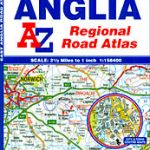 East Anglia A-Z Regional Road Atlas
 East Anglia A-Z Wall Map
 Devon & Cornwall A-Z Wall Map PAPER
 50 Miles Around Bristol A-Z Map
 Southern England A-Z Regional Road Atlas
 Europe – Middle East – Central Asia Freytag & Berndt Wall Map
 South East England AA Road Map 3
 South Island – Northern & Central Kiwimaps