Disclosure : This site contains affiliate links to products. We may receive a commission for purchases made through these links.
South America – The Andes Nelles
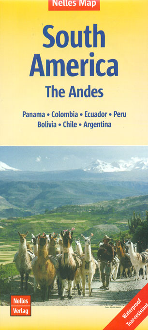
The Andes at 1:4,500,000 on a waterproof and tear-resistant, double-sided map from Nelles, including coverage of the whole of Patagonia, with street plans of central Bogota, Quito, Lima, La Paz, Santiago and four more cities in Chile, plus enlargements for the Cusco area and the region around Santiago.Coverage of the Andes is divided into two sections, each accompanied by the appropriate plans or enlargements. The northern half extends from western Venezuela to Antofagasta in Chile and includes insets with street plans of central Bogota, Quito, Lima and La Paz, plus an enlargement of the Cusco area with Machu Picchu and Cordillera Vilcabamba. The southern half start at Iquique, providing a good overlap with the northern side, and includes street plans of central Santiago, Antofagasta, Iquique, Arica and La Serena, plus an enlargement of the region around Santiago. Coverage extends inland beyond Cรณrdoba and includes the Atlantic coast of Argentina south of Bahia Blanca.Relief shading, spot heights and names of mountain ranges and peaks present the topography. Road network indicates highways in good or poor condition and includes partly surfaces roads and selected tracks. Driving distances are marked on main routes. Railway lines and local airports are included, and the map also shows internal administrative boundaries within each country with names of the provinces. National parks or protected areas and main places of interest are highlighted. Latitude and longitude are indicated by margin ticks at 4ยฐ. The map has no index. Map legend includes English.The street plans highlight various sights, facilities and institutions, as well as selected hotels.

Related Products:
 Chile – Patagonia Nelles
 Central America Nelles
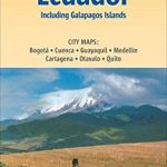
 Peru – Ecuador Nelles
 Argentina North – Uruguay Nelles
 South Africa – Namibia – Botswana – Zimbabwe Nelles
 Bolivia – Paraguay Nelles
 Malaysia – Brunei Nelles
 Nepal Nelles
 Cusco & Peru South ITMB
 India South Nelles
 Java – Jakarta Nelles
 Chile Borch
 India North Nelles
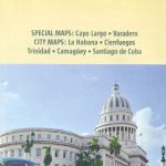 Cuba Nelles
 Mexico Nelles
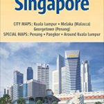 Malaysia West – Singapore Nelles
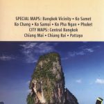 Thailand Nelles
 Sri Lanka Nelles
 India Northeast – Bangladesh Nelles
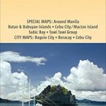 Philippines – Manila Nelles
 Kenya – Serengeti Nelles
 Tunisia Nelles Map
 Chile ITMB
 India East Nelles
 India West Nelles
 Cuba Michelin
 Colombia – Ecuador Nelles
 South Pacific Islands Nelles
 New Zealand Nelles
 Bali – Lombok Nelles
 South Island – Northern & Central Kiwimaps
 Namibia – Botswana Nelles
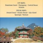 Korea North and South Nelles
 Hawaii – The Big Island Nelles
 Central Asia Nelles
Taiwan Nelles
Central Asia Nelles
Taiwan Nelles
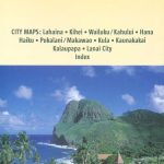 Hawaii – Maui – Molokai – Lanai Nelles
 South America ITMB