Disclosure : This site contains affiliate links to products. We may receive a commission for purchases made through these links.
South America ITMB
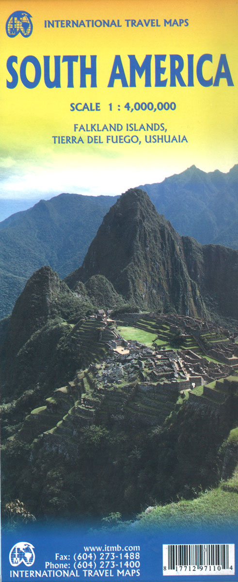
Large, double-sided, indexed reference map of the South America at 1:4,000,000 showing the continent’s road and rail networks on a base with altitude colouring, plus a more detailed enlargement covering most of the Tierra del Fuego, a street plan of Ushuaia, a political map of the continent, etc.The map is double-sided, extending on one side to Calama in Peru and beyond Belo Horizonte in Brazil; the remainder of the continent in on the reverse, with a small overlap between the sides. Topography is presented by altitude colouring, with spot heights and names of peaks, volcanoes and various mountain ranges, plus colouring/graphics for glaciers, salt pans and swamps. Each country is shown with its internal administrative boundaries and names of states or provinces. The map shows the continent’s road and rail networks, with local airports in less accessible areas also marked. National parks and various places of interest or selected facilities are highlighted, including the UNESCO World Heritage sites, and notes placed along the coast line provide brief descriptions of some of the sights. The map is indexed and has latitude and longitude lines at intervals of 1ยบ.The reverse side also includes an enlargement of the central part of Tierra del Fuego on both sides of the border, a street plan of Ushuaia indicating locations of hotels and various facilities, a political map of South America, , plus lists of highest peaks and longest rivers and a glossary of terms and abbreviations used on the main map.

Related Products:
 Argentina South & Tierra del Fuego ITMB
 Chile South & Patagonia ITMB
 Patagonia & Tierra del Fuego ITMB
 Chile ITMB
 South America Southern ITMB
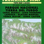 Ushuaia Trekking Map
 South America ITMB Travel Atlas
 Paraguay – Bolivia South ITMB
 Tierra del Fuego – Cordillera Darwin – Lago Fagnano – Isla Navarino SIG Patagon
 Cusco & Peru South ITMB
 Accra & Ghana South ITMB
 South America North ITMB
 Guangzhou & China South ITMB
 San Diego & USA South West Border ITMB
 Sao Paulo & Brazil South Coast ITMB
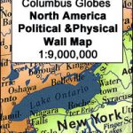 North America Columbus double-sided Political / Physical Wall Map
 Antarctica – Tierra del Fuego ITMB
 Bangkok & Thailand South ITMB
 South America Global Mapping Political Wall Map PAPER
 Japan North & Hokkaido ITMB
 Tierra del Fuego de Dios Map-Guide SPANISH
 Sikkim & India Northeast ITMB
 Bangladesh & India East ITMB
 Saudi Arabia & Kuwait ITMB
 Hong Kong & Region ITMB
 Insight Guides South America
 South America – The Andes Nelles
 India South & North East ITMB
 Japan South ITMB Railway & Road Map
 USA South: Atlantic States ITMB
 Kazakhstan & Uzbekistan ITMB
 Hungary & Budapest ITMB
 Tierra del Fuego Historical Maps
 Africa South & Central ITMB
 Argentina ACA Regional Zone 9 – Patagonia South
 Iran & Tehran ITMB
 Guatemala ITMB
 South America: ITMB Sectional Maps