Disclosure : This site contains affiliate links to products. We may receive a commission for purchases made through these links.
South Africa InfoMap
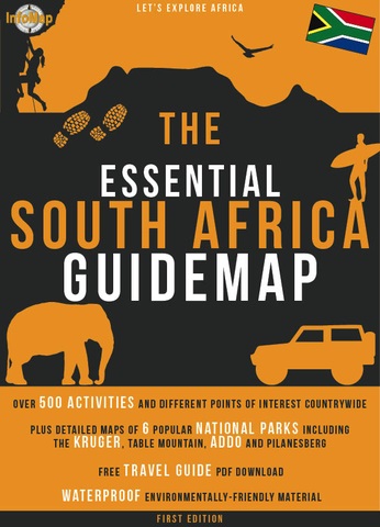
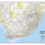
South Africa at 1:2,000,000 on a waterproof and tear-resistant road map from South African publishers International Motoring Productions symbols highlighting locations for adventure activities, plus enlargements showing in greater detail Kruger, Table Mountain, Augrabies Falls and Addo Elephant National Parks plus Hluhluwe-Imfolozi and Pilanesberg Game ReservesOn one side is a road map of South Africa at 1:2,000,000, with the northernmost part of the Limpopo Province shown on an inset. The map shows the network of main and selected secondary routes, indicating roll routes, tar or gravel roads and 4WD tracks. National parks, game reserves and other protected areas are prominently highlighted. A range of icons indicates sites recommended for various outdoor activities (surfing, kite surfing, climbing and abseiling, scuba diving and snorkelling, fishing, bungee jumping, etc, etc), weekend getaways, UNESCO World Heritage sites, etc. Apart from main rivers and lakes and the highlighting for protected areas, the map has no topographic information. Latitude and longitude lines are drawn at 1ยบ intervals.On the reverse, five panels present in greater detail Kruger NP (1:600,000), Table Mountain NP (1:140,000), Augrabies Falls NP (1:180,000), Addo Elephant NP (1:150,000), Hluhluwe-Imfolozi Game Park (1:200,000) and Pilanesberg Game Reserve (1:140,000). Each map has an information panel with information on opening times, mobile phone reception, recommended accommodation, emergency phone numbers, etc.


