Disclosure : This site contains affiliate links to products. We may receive a commission for purchases made through these links.
South Africa: 50K Hiking Maps of the Drakensberg Mountains
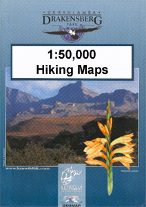
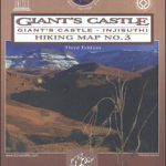
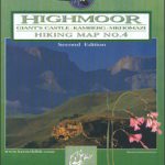
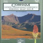
Drakensberg Mountains on a series of six contoured and GPS compatible maps at 1:50,000 from the Kwazulu Natal Nature Conservation Service, highlighting hiking routes, entry points and restriction zones, locations of caves, accommodations facilities, etc, plus on the reverse drawings of the local flora and fauna, and other tourist information.A satellite image of the area, with bold shading to present a vivid image of the topography, is overprinted with contour lines at 20m intervals, plus spot heights. Hiking trails are prominently marked and graded into National Hiking Ways, major or minor paths, and poorly defined routes. The maps also indicate difficult or dangerous section where ropes may be required, junction number with their altitude, and the distance to the next junction(s). Symbols show entry points, permit requirements, different types of accommodation, car parks and picnicking spots, etc. The maps also show the boundaries of protected and specially managed areas. Each map has a 1km UTM grid plus latitude and longitude lines at 1โ€ intervals. Full topographical detail continues across the provincial border into the Free State province and Lesotho but with considerably less information. In Lesotho the overprint highlights local paths, with rapids and waterfalls on local rivers also marked, but with little or no other information. Within the Free State the map shows roads and local settlements with the location of schools, stores, and churches but without any hiking paths.On the reverse the maps have panorama drawing of the mountain, lists of caves and selected other topographic features, extensive general information about the area including its ecology and conservation, safety notes, etc, plus lovely black and white drawings of local fauna and flora.


