Disclosure : This site contains affiliate links to products. We may receive a commission for purchases made through these links.
Sonora & Sinaloa ITMB
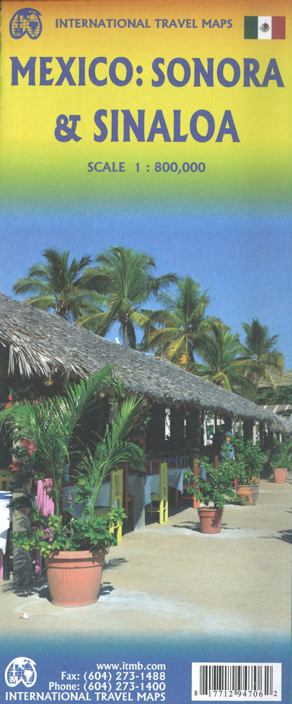
Indexed, double-sided road map covering these provinces in north-western Mexico, with basic plans of central Hermosillo and Chihuahua included. Altitude tinting represents the general relief, with spot heights for major peaks, swamp areas, desert regions and national parks marked. Road detail includes some minor roads and tracks, and shows intermediate distances on major routes. Main railways and province boundaries are drawn and a range of symbols indicate petrol stations, border crossings, airports, airfields, archaeological sites and antiquities, places of interest, selected campsites, spas, beaches, watersport sites, tourist information offices, etc. Lines of latitude and longitude are at 1ยฐ intervals. The Hermosillo and Chihuahua street plans show streets only; no other landmarks or tourist features are marked.This title is part of a series of detailed touring maps of Mexico published by ITMB.

Related Products:
 Mexico Border States: Coahuila, Nuevo Leon, Tamaulipas ITMB
 Oaxaca & Chiapas ITMB
 Sonora State – Hermosillo
 Mexico North-East ITMB
 Mexico Pacific Coast & Guadalajara ITMB
 Mexico Pacific & Guadalajara ITMB
 Mexico North ITMB
 Mexico Central & Mexico City ITMB
 Sinaloa State – Culiacรกn – Mazatlan – Los Moches
 Mexico ITMB
 Baja California ITMB
 San Diego & USA South West Border ITMB
 Caucasus ITMB
 South Africa – Lesotho – Swaziland ITMB
 Cuba ITMB
 Yucatan ITMB
 Libya – Tunisia ITMB
Mexico: ITMB Regional Road Maps
Libya – Tunisia ITMB
Mexico: ITMB Regional Road Maps
 Cayman Islands & Jamaica ITMB
 Sarawak – Sabah – Brunei ITMB
 Belize & Eastern Guatemala ITMB
 Bolivia ITMB
 Iceland ITMB
 Togo & Benin ITMB
Chihuahua State – Chihuahua City
Togo & Benin ITMB
Chihuahua State – Chihuahua City
 Reykjavik & SW Iceland ITMB
 US / Mexico Border ITMB
 Sri Lanka & India South ITMB
 Sierra Leone ITMB
 Morocco ITMB
 Marrakesh & Northern Morocco ITMB
 Ghana ITMB
Zambia & Eastern Africa ITMB Road Map
Ghana ITMB
Zambia & Eastern Africa ITMB Road Map
 Panama ITMB
 Central America ITMB
New Zealand ITMB
Oman & Yemen ITMB
Central America ITMB
New Zealand ITMB
Oman & Yemen ITMB
 Taiwan & Taipei ITMB
 Trinidad & Tobago ITMB