Disclosure : This site contains affiliate links to products. We may receive a commission for purchases made through these links.
Snowdonia & North West Wales Fir Tree Aerial Map
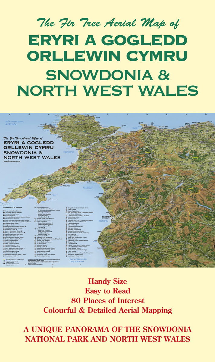
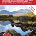
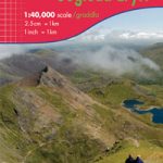
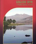
Snowdonia & North West Wales – Folded MapEryri a Gogledd Orllewin Cymru – map wedi`i blyguThe original image has been hand painted by Cartographic Artist Richard Chandler. It depicts the whole of The Snowdonia National Park as well as Anglesey and The Llyn Peninsula.The Aerial Mapping is very easy to read and unlike conventional mapping gives a unique and colourful panorama of the landscape.80 places of interest (including National Trust and Cadw properties) are listed and clearly marked. Printed to a very high standard on quality art paper with lightfast ink.Folded and glued into a laminated card coverAll Heights in metresScale: Variable with 10km grid ticks around the edge of the map


