Disclosure : This site contains affiliate links to products. We may receive a commission for purchases made through these links.
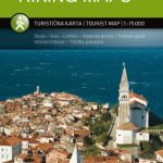
Slovenia: Kompass 75K Hiking and Cycling Maps
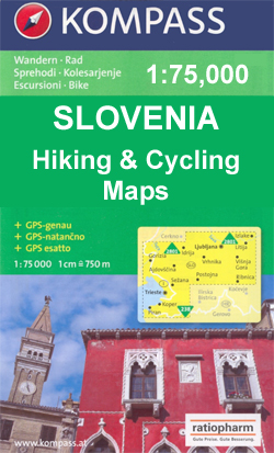
Northern Slovenia and the countryโ€s coast, including the Trieste area, at 1:75,000 on GPS compatible, double-sided recreational maps from Kompass, with hiking and cycling routes plus extensive tourist information. Cartography, different in style to that used in Kompassโ€s extensive hiking series covering other parts of Europe, has contours at 20m intervals, although faint colouring means that effectively only main countours at 100m are visible, and even those are sometimes not easy to see. The maps also have relief shading, plus plenty of spot heights and names of peaks and mountain ranges.An overprint highlights hiking routes, indicating difficult sections and showing, where appropriate, the numbers of the trans-European and Slovenian long-distance hiking routes. Also marked are cycling routes and a very wide range of symbols highlight places of interest, different types of accommodation including campsites and agritourism farms, sport and recreational facilities, etc. Road network indicates locations of petrol stations. Railways are shown with stations and different types of mountain lines (cable cars, chair lists, etc.) are marked. The maps have latitude and longitude lines at intervals of 2ยฐ30โ€. Map legend, conveniently placed on both sides of each map, includes English.Somewhat old-fashioned style of cartography, with a variety of type faces and extensive use of italics will appeal to all those who like their maps โ€as they used to beโ€!


