Disclosure : This site contains affiliate links to products. We may receive a commission for purchases made through these links.
Slovenia, Croatia and Bosnia-Herzegovina
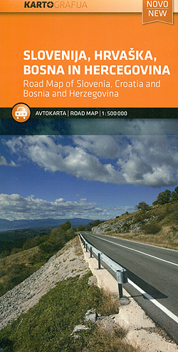
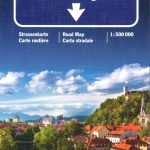
Slovenia, Croatia and Bosnia-Herzegovina at 1:500,000 on an indexed road map from Kartografija in Ljubljana, with good coverage of the adjoining areas of Austria and Hungary, plus a large part of Montenegro.Topography of the area is shown by light relief shading and altitude colouring, with names of various mountain ranges, peaks and other geographical features. Road network, graded from motorways to secondary routes and selected local roads, shows locations of petrol stations and border crossing, plus gives driving distances on most secondary roads. Railway lines are included, local airports are marked, and on the Adriatic coast ferry routes are shown. Symbols highlight campsites, spas, beaches and marina. The map has latitude and longitude lines at intervals of 30’. The index is on the reverse. Map legend includes English.Also provided is a map of Europe showing various permutations of the membership to the Eu and the Schengen zone.


