Disclosure : This site contains affiliate links to products. We may receive a commission for purchases made through these links.
SHOM Chart 7802 – De Berenice (Barnis) ร Masamirit
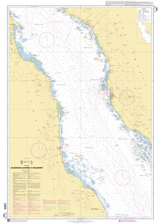
PLEASE NOTE: the chart will be ordered for you if not currently in stock. Please allow 1-2 weeks for the chart to reach Stanfords. SHOM charts are produced by the French Government and comply with Safety of Life at Sea (SOLAS) regulations. They are ideal for professional, commercial and recreational use. Charts within the series consist of a range of scales, useful for passage planning, ocean crossings, coastal navigation and entering port.
Related Products:
 SHOM Chart 7803 – De Suez (As Suways) ร Berenice (Barnis)
 Admiralty Chart 158 – Red Sea, Berenice to Masamirit
 SHOM Chart 7801 – De Masamirit ร Bab el Mandeb
 Admiralty Chart 157 – Masamirit to Bab el Mandeb
 Admiralty Chart 159 – Red Sea,Suez (El Suweis) to Berenice
 SHOM Chart 7281 – Hao
 SHOM Chart 7314 – Ahe
 SHOM Chart 7259 – Ile Marรฉ
 SHOM Chart 7454 – Faaite
 SHOM Chart 7299 – Du Cap Bon (Ras at Tib) a Ra’s at Tin
 SHOM Chart 7410 – Ile d’Yeu
 SHOM Chart 6283 – Ile Tahaa
 SHOM Chart 6434 – Huahine
 SHOM Chart 7213 – Maupiti
 SHOM Chart 7353 – Ua-Pou et Ua-Huka
 SHOM Chart 7373 – Rangiroa
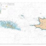 SHOM Chart 7423 – Raz de Sein
 SHOM Chart 6733 – Mer Rouge
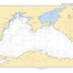 SHOM Chart 7243 – Mer Noire
 SHOM Chart 7040 – La Manche
 SHOM Chart 7595 – Ria de Vigo
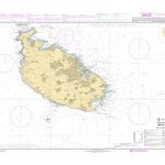 SHOM Chart 7675 – Malta
 SHOM Chart 7697 – Dubrovnik
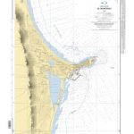 SHOM Chart 4086 – Al Mahdiyah
 SHOM Chart 4102 – Sousse
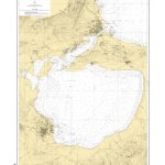 SHOM Chart 4970 – Lac de Bizerte
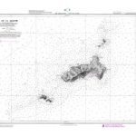 SHOM Chart 5698 – Ile de La Galite
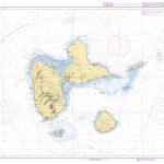 SHOM Chart 7345 – Guadeloupe
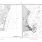 SHOM Chart 5797 – Mananjary
 SHOM Chart 7035 – La Rรฉunion
 SHOM Chart 6165 – Rurutu
 SHOM Chart 7293 – Manihi
 SHOM Chart 7329 – Kauehi
 SHOM Chart 7372 – Fakarava
 SHOM Chart 7453 – Makemo
 SHOM Chart 7101 – Les Saintes
 SHOM Chart 7615 – Barbados
 SHOM Chart 7616 – Dominica
 SHOM Chart 7618 – Antigua
 SHOM Chart 7627 – Grenada


