Disclosure : This site contains affiliate links to products. We may receive a commission for purchases made through these links.
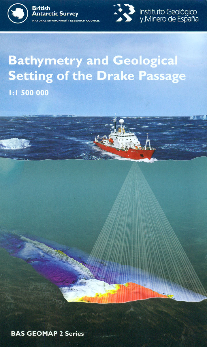
Setting of the Drake Passage BAS Bathymetry and Geological Map 7

Related Products:
 The South Sandwich Islands Volcanic Arc BAS Bathymetry and Geological Map 6
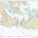
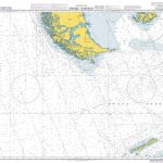 Admiralty Chart 4212 – Drake Passage
 Ushuaia to Antarctica – Drake Passage – Polar Voyage Log Map
 CHS Chart 3544 – Johnstone Strait, Race Passage and Current Passage
 Setting the Desert on Fire
 Setting the Table: The Transforming Power of Hospitality in Business
 Untie the Lines: Setting Sail and Breaking Free
 Sir Francis Drake – the Queen`s Pirate
 Setting the East Ablaze: On Secret Service in Bolshevik Asia
 Admiralty Chart 1450 – Turks Island Passage and Mouchoir Passage
 The Paradoxal Compass: Drake`s Dilemma: 2017
 Admiralty Chart 4935 – Hecate Strait – Chatham Sound, Malacca Passage to Bell Passage
 Admiralty Chart 3914 – Caicos Passage and Mayaguana Passage
 Setting the East Ablaze
 NOAA Chart 14882 – St. Marys River’”De Tour Passage to Munuscong Lake – De Tour Passage
 Infinity Drake
 The Jamie Drake Equation
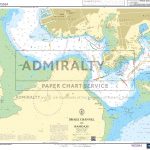 Admiralty Chart SC5602_16 – Drake Channel to Hamoaze
 The Coddling of the American Mind: How Good Intentions and Bad Ideas Are Setting Up a Generation for Failure
Geological map of Northern Ireland (Q)
The Coddling of the American Mind: How Good Intentions and Bad Ideas Are Setting Up a Generation for Failure
Geological map of Northern Ireland (Q)
 Geological wonders of Namibia
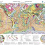 Geological Map of the World Wall Map
 WWI Trench Map: Ploegsteert Geological Map (28 SW 4 – ed. 6)
 In Search of a Kingdom: Francis Drake, Elizabeth I, and the Perilous Birth of the British Empire
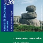 France IGN Geological Map 904
Geological Map of Switzerland
France IGN Geological Map 904
Geological Map of Switzerland
 Iceland Geological Map
 Nepal Geological Map
 A Passage to India
 Safe Passage
 Passage to Juneau
 A Passage to Africa
 Rites of Passage
 Rough Passage
 Passage Through India
 A Passage to Nuristan
 RYA Passage Planning (G69)
 Geological map of the British Islands BGS
 Geological Map of Scotland c1860
UTM Series Geological Maps
Geological Map of Scotland c1860
UTM Series Geological Maps