Disclosure : This site contains affiliate links to products. We may receive a commission for purchases made through these links.
Serengeti – Masai Mara – Ngorongoro – Oldupai Harvey Map-Guide
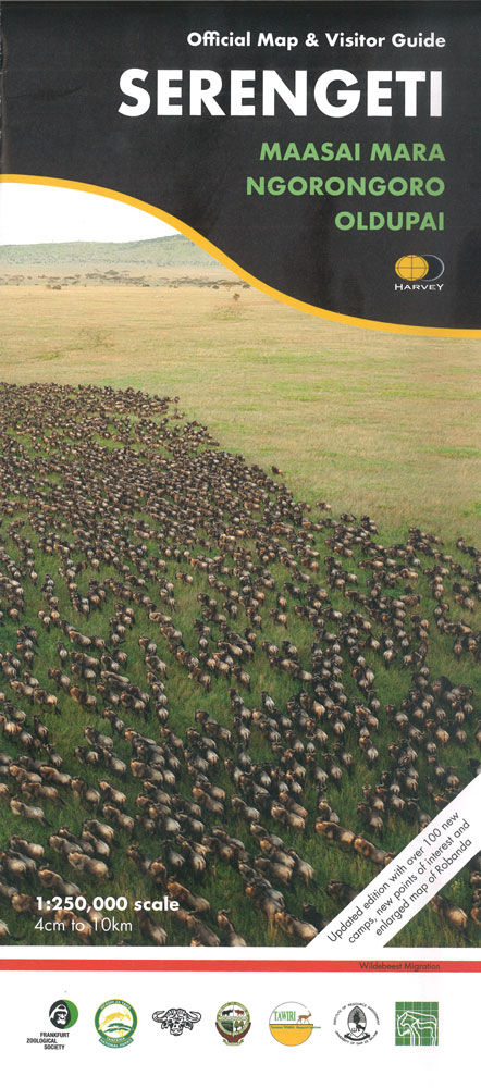
Serengeti National Park plus the adjoining protected areas of Northern Tanzania and across the border in Kenya, covering the whole of the Greater Serengeti Ecosystem, on a large, detailed map with enlargements and extensive informative text on various aspects of the area, produced by Harvey in cooperation with the Frankfurt Zoological Society, Tanzania National Parks and other environmental and academic organization.On one side the main map at 1:250,000 covers the Serengeti National Park, Ngorongoro Conservation Area, Liliondo Game Controlled Area, and three more game reverses within Tanzania: Ikorongo, Grumeti and Maswa. Coverage extends across the border with Kenya to include the Masai Mara National Reserve, plus the adjoining Masai Group Ranches: Siana and parts of Koyaki and Olkinyie. The map has contours at 100m intervals with colouring to indicate different types of vegetation: grassland, savannah, open and dense woodland. Permanent or seasonal rivers, lakes and pools, marshes and kopjes are shown and symbols mark locations of entrance gates, airstrips, lodges and campsites, ranger posts, tourist information centres and fuels supplies. On local roads and seasonal tracks intermediate distances are marked. The map has a UTM grid, plus latitude and longitude margin ticks at 30’ intervals.On the reverse are enlargements at 1:125,000 of two parts of the Serengeti National Park: the Grumeti River area and the central part around Seronera and Moru. Numerous panels, illustrated with colour photos, deal with various aspects of the Serengeti – Mara ecosystem: topography and geology, kopjes, history and people, climate, fauna and flora, etc.


