Disclosure : This site contains affiliate links to products. We may receive a commission for purchases made through these links.
Sensitive Sea Areas World Map
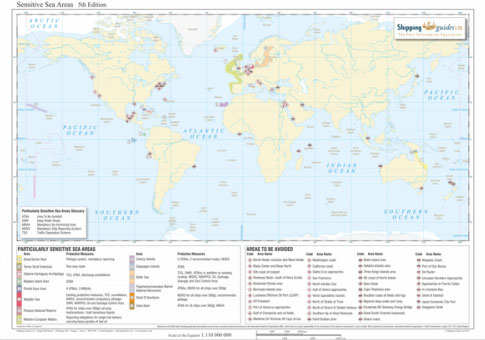
Colour-coding and numbering is used to illustrate the 14 particularly sensitive sea areas, including the recently added areas of Saba Bank and Strait of Bonifacio. Notes depicting their required protective measures are also provided as defined by the International Maritime Organisation (IMO).Also shown are areas to be avoided including the recently added region Off Friesland.Full colour laminated map in size A3.

Related Products:
 International World Load Line Zones and Areas Map
 Particularly Sensitive Sea Areas (PSSA) – E-Reader
 Particularly Sensitive Sea Areas (PSSA), 2017 Edition
 Honduras Protected Areas Map
 Maritime Piracy Incidents World Map
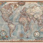
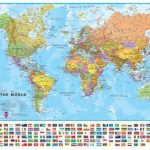
 World Maps International Political Wall Map X-LARGE LAMINATED
 World NGS Classic Wall Map ENCAPSULATED
 World NGS Classic Wall Map LARGE ENCAPSULATED
 World Maps International Political Wall Map SMALL ENCAPSULATED
 World Maps International Political Wall Map LARGE ENCAPSULATED
 World NGS Classic Wall Map POSTER-SIZE ENCAPSULATED
 World Maps International Political Wall Map MEDIUM LAMINATED
 World NGS Classic Pacific-Centered Wall Map LARGE ENCAPSULATED
 World NGS Classic Wall Map 3-SHEET SET ENCAPSULATED
 World Maps International Physical Wall Map LARGE LAMINATED
 World Executive Ray & Co Wall Map ENCAPSULATED
 World Maps International Political Wall Map SMALL HANGING-STRIPS (with flags)
 World Maps International Physical Wall Map X-LARGE ENCAPSULATED
 World Maps International Political Wall Map LARGE HANGING-STRIPS (with flags)
 World Maps International Political Wall Map MEDIUM HANGING STRIPS (with flags)
 World Maps International Political Upside-down Wall Map LARGE HANGING-STRIPS
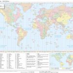 Standard Time Zones World Map
 World Maps International Political Wall Map SMALL HANGING-STRIPS (without flags)
 World Maps International Political Wall Map LARGE HANGING-STRIPS (without flags)
 World Maps International Political Wall Map MEDIUM HANGING-STRIPS (without flags)
 Ships’ Routeing, 2019 Edition
 Ships` Routeing: 2017 Edition
 World Maps International Political Upside-down Wall Map LARGE ENCAPSULATED
 World Maps International Political Wall Map SMALL PAPER
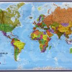
 World Collins Political Wall Map LAMINATED
 World Maps International Political Wall Map LARGE PAPER
 World Maps International Political Wall Map MEDIUM PAPER
 Ships` Routeing, 2019 Edition – E-Reader
 Malaga – The 25 Best Routes in the Protected Natural Areas
 World Maps International Physical Wall Map LARGE HANGING-STRIPS
 France: Michelin Zoom Maps of Popular Holiday Areas
 World Maps International Political Wall Map SMALL PIN-BOARD FRAMED with flags
 World Maps International Political Wall Map LARGE PIN-BOARD FRAMED with flags
 World Maps International Political Wall Map MEDIUM PIN-BOARD FRAMED with flags
 North East Friesland