Disclosure : This site contains affiliate links to products. We may receive a commission for purchases made through these links.
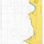
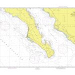
SEMAR Chart 100 – San Diego to Punta San Pablo
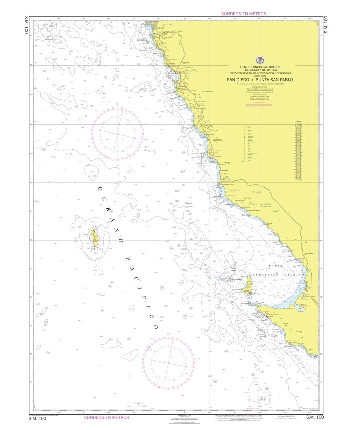
Official Mexican Hydrographic Office charts (SEMAR – Secretarรญa de Marina Armada de Mรฉxico) for the coast waters of Mexico offer a great range of scales. General and Regional charts cover large areas of the coastline and are great for planning. Available to order from Stanfords. Also available: – Charts for ports along the Pacific coast of Mexico – Charts for ports along the Gulf of Mexico and the Caribbean coast For more information, please email maritime@stanfords.co.uk .

Related Products:
 SEMAR Chart 300 – Punta San Pablo to Mazatlan, including south of California Gulf
 SEMAR Chart 4 – Gulf of Mexico and Caribbean Sea
 SEMAR Chart 500 – Manzanillo to Punta Maldonado
 SEMAR Chart 100A – De San Quintin to Punta Eugenia
 SEMAR Chart 600 – Punta Maldonado to Puerto Chiapas
 SEMAR Chart 300A – Punta Eugenia to Cabo San Lazaro
SEMAR Chart 342.1 – Punta Entrada to Punta Redonda
SEMAR Chart 721 – La Pesca to Punta Jerez
SEMAR Chart 334.2 – Punta Colorada, Sinaloa
SEMAR Chart 300A – Punta Eugenia to Cabo San Lazaro
SEMAR Chart 342.1 – Punta Entrada to Punta Redonda
SEMAR Chart 721 – La Pesca to Punta Jerez
SEMAR Chart 334.2 – Punta Colorada, Sinaloa
 SEMAR Chart 110 – San Diego to Cabo Colnett
 SEMAR Chart 922.2B – Punta Sam, Quintana Roo
SEMAR Chart 722 – Punta Jerez to Tampico
SEMAR Chart 414 – Los Corchos to Punta Raza
SEMAR Chart 362.3 – Punta Copalitos, Sinaloa
SEMAR Chart 142.4 – Isla Cedros (Punta Sur)
SEMAR Chart 922.2B – Punta Sam, Quintana Roo
SEMAR Chart 722 – Punta Jerez to Tampico
SEMAR Chart 414 – Los Corchos to Punta Raza
SEMAR Chart 362.3 – Punta Copalitos, Sinaloa
SEMAR Chart 142.4 – Isla Cedros (Punta Sur)
 SEMAR Chart 200 – California Gulf, Northern Part
SEMAR Chart 001 – Zona Economica Exclusiva – Mexico Coast and Approaches
SEMAR Chart 414.5 – Chacala to Punta Raza, Nayarit
SEMAR Chart 200 – California Gulf, Northern Part
SEMAR Chart 001 – Zona Economica Exclusiva – Mexico Coast and Approaches
SEMAR Chart 414.5 – Chacala to Punta Raza, Nayarit
 SEMAR Chart 700 – Rio Bravo to Tampico
 SEMAR Chart 800 – Tampico to Progreso
 SEMAR Chart 900 – Straits of Yucatรกn and Approaches
SEMAR Chart 020 – Mazatlan to Puerto Chiapas
SEMAR Chart 030 – Rio Bravo to Bahia de Chetumal
SEMAR Chart 010 – Ensenada to Mazatlan, Including California Gulf
SEMAR Chart 900 – Straits of Yucatรกn and Approaches
SEMAR Chart 020 – Mazatlan to Puerto Chiapas
SEMAR Chart 030 – Rio Bravo to Bahia de Chetumal
SEMAR Chart 010 – Ensenada to Mazatlan, Including California Gulf
 SEMAR Chart 400 – Cabo San Lucas to Manzanillo and Islas Revillagigedo
SEMAR Chart 211.2 – Bahia San Felipe to Punta Diggs, Baja California
SEMAR Chart 713.1 – La Pesca, Tamaulipas
SEMAR Chart 722.1 – Altamira and Approaches
SEMAR Chart 811.3 – Isla Lobos
SEMAR Chart 812.2 – Tuxpan, Veracruz
SEMAR Chart 400 – Cabo San Lucas to Manzanillo and Islas Revillagigedo
SEMAR Chart 211.2 – Bahia San Felipe to Punta Diggs, Baja California
SEMAR Chart 713.1 – La Pesca, Tamaulipas
SEMAR Chart 722.1 – Altamira and Approaches
SEMAR Chart 811.3 – Isla Lobos
SEMAR Chart 812.2 – Tuxpan, Veracruz
 SEMAR Chart 300B – Cabo San Lazaro to Cabo San Lucas, including south of California Gulf
SEMAR Chart 722.3 – Rio Panuco – Puerto de Tampico
SEMAR Chart 812.5 – Laguna de Tampamachoco, Veracruz
SEMAR Chart 813.3 – Laguna Verde, Veracruz
SEMAR Chart 300B – Cabo San Lazaro to Cabo San Lucas, including south of California Gulf
SEMAR Chart 722.3 – Rio Panuco – Puerto de Tampico
SEMAR Chart 812.5 – Laguna de Tampamachoco, Veracruz
SEMAR Chart 813.3 – Laguna Verde, Veracruz