Disclosure : This site contains affiliate links to products. We may receive a commission for purchases made through these links.
Segarra
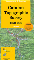
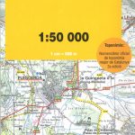
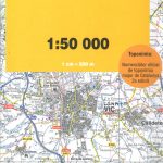
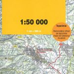
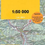
Topographic survey of Catalonia at 1:50,000 from the Institut Cartogrร fic de Catalunya, with vivid presentation of the terrain and an overprint for long-distance GR hiking trails. The series provides an excellent alternative to the much smaller sheets in the civilian or military surveys produced for the whole of Spain. The Catalan 50K series has not only a much larger area per sheet (each map covers one comarca, an administrative division of a province) than the maps from the national surveys, but also has more colourful, elegant and clear cartography with contours at 20m intervals, hill shading and fine graphics to portray the relief, vegetation types and landmarks.Most maps also have more tourist-related information, with an overprint highlighting long-distance GR trails and the Via Verde routes. Mountain refuges are marked and a range symbols indicate various places of interest including historical monuments, sport and recreational facilities, etc. Four different types of interesting locations are highlighted: picturesque towns or villages, individual isolated building or monuments, natural sites, and hydrographic features such as waterfalls. The maps have a 5km UTM grid, with latitude and longitude values shown for the map corners. Map legend is in Catalan only.To see other titles in this series please click on the series link.

Related Products:
 Spain: 50K Catalan Topographic Survey
Garrigues
Segria
Pla de l`Estany
Garraf
Noguera
Solsonรจs
Urgell
Pla d`Urgell
Priorat
Tarragones
Alt Camp
Alt Penedรจs
Montsiร
Bages ICGC 07
Val d`Aran ICGC 39
Spain: 50K Catalan Topographic Survey
Garrigues
Segria
Pla de l`Estany
Garraf
Noguera
Solsonรจs
Urgell
Pla d`Urgell
Priorat
Tarragones
Alt Camp
Alt Penedรจs
Montsiร
Bages ICGC 07
Val d`Aran ICGC 39
 Garrotxa ICGC 19
 Maresme ICGC 21
 Gironรจs ICGC 20
 Cerdanya ICGC 15
 Osona ICGC 24
 Selva ICGC 34
 Ripollรจs ICGC 31
Vallรจs Oriental
Vallรจs Occidental
Ripollรจs ICGC 31
Vallรจs Oriental
Vallรจs Occidental
 Berguedร ICGC 14
 Alt Empordร ICGC 02
Baix Llobregat
Terra Alta
Ribera d`Ebre
Baix Penedรจs
Conca de Barberร
Alt Empordร ICGC 02
Baix Llobregat
Terra Alta
Ribera d`Ebre
Baix Penedรจs
Conca de Barberร
 Barcelona and Environs ICGC 13
 Baix Camp ICGC 08
 Baix Ebre ICGC 09
 Alta Ribagorรงa ICGC 05
Anoia ICGC 06
Alta Ribagorรงa ICGC 05
Anoia ICGC 06
 Alt Urgell ICGC 04
 Pallars Sobirร ICGC 26
 Pallars Jussร ICGC 25