Disclosure : This site contains affiliate links to products. We may receive a commission for purchases made through these links.
Scotland Wall Map
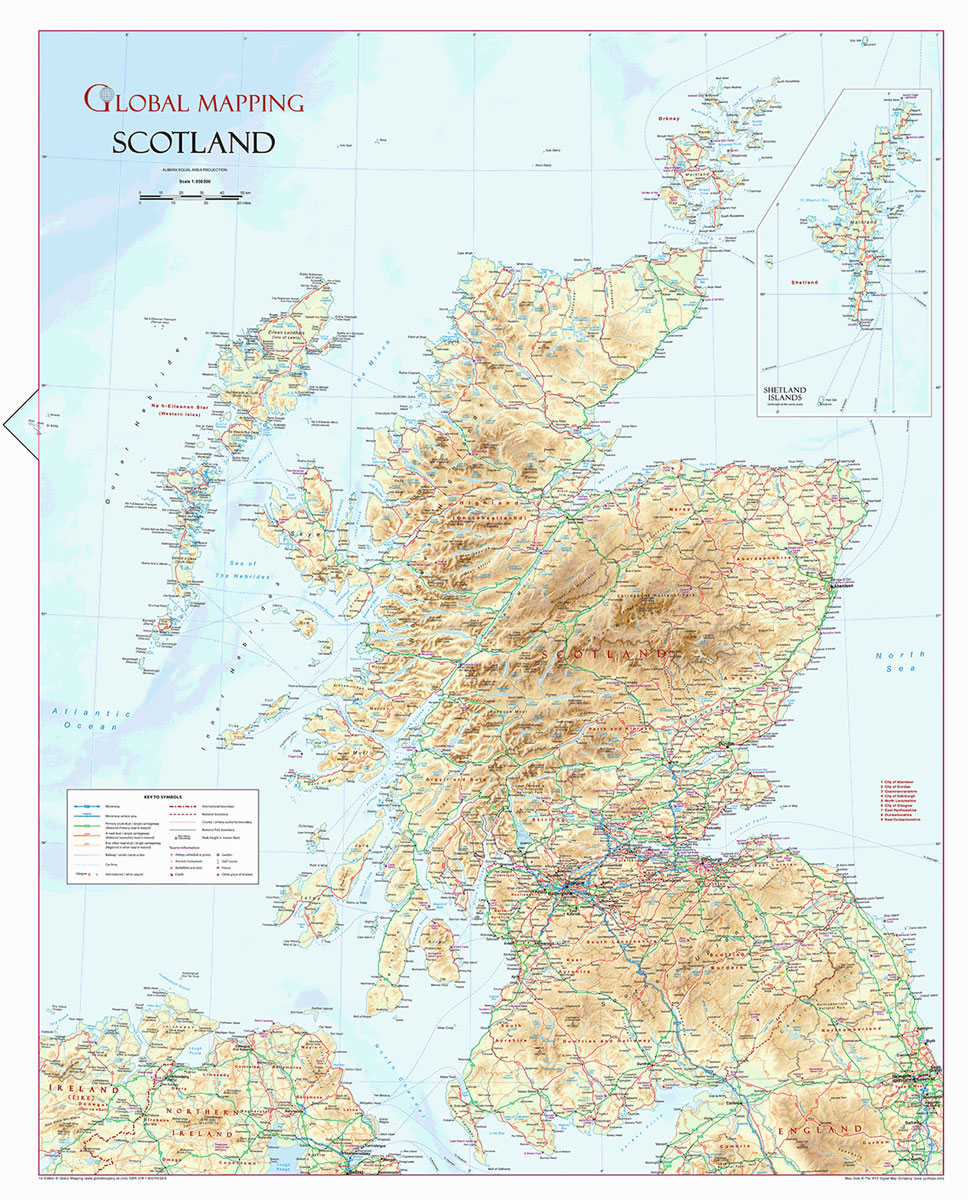
A wall map of Scotland at 1:650,000 from Global Mapping, 70 x 89cm (2ft 4″ x 2ft 11″), showing the country’s network of main roads and railways on a base with relief shading and altitude colouring, with names of numerous peaks, valleys, coastal lochs, bays and sounds, etc.The map also shows county/unitary authorities names and borders, airports, ferry connections and various places of tourist interest: historical sites, castles and palaces, gardens, golf courses, etc. Latitude and longitude lines are marked at 1ยฐ intervals.

Related Products:
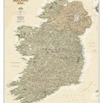
 Ireland NGS Classic Wall Map PAPER
 Great Britain & Ireland Michelin Wall Map ENCAPSULATED
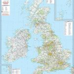 Great Britain & Ireland Michelin Wall Map PAPER
 Glasgow – Edinburgh & Central Scotland A-Z Wall Map PAPER
 Ireland NGS Executive Wall Map PAPER
 Scotland NGS Classic Wall Map PAPER
 British Isles Map Marketing Sales & Marketing Wall Map ENCAPSULATED
 Ireland NGS Classic Wall Map ENCAPSULATED
 Scotland NGS Classic Wall Map ENCAPSULATED
 Scotland NGS Executive Wall Map PAPER
 New Zealand Wall Map
 Ireland NGS Executive Wall Map ENCAPSULATED
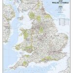 England and Wales NGS Classic Wall Map PAPER
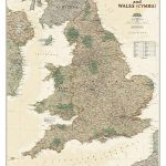 England and Wales NGS Executive Wall Map PAPER
Scotland NGS Executive Wall Map ENCAPSULATED
British Isles Political Wall Map PAPER
England and Wales NGS Executive Wall Map PAPER
Scotland NGS Executive Wall Map ENCAPSULATED
British Isles Political Wall Map PAPER
 Britain and Ireland NGS Classic Wall Map PAPER
 Balkans NGS Classic Wall Map PAPER
 50 Miles Around Birmingham A-Z Wall Map
 India NGS Classic Wall Map ENCAPSULATED
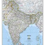
 India NGS Classic Wall Map PAPER
 England and Wales NGS Executive Wall Map ENCAPSULATED
England and Wales NGS Classic Wall Map ENCAPSULATED
England and Wales NGS Executive Wall Map ENCAPSULATED
England and Wales NGS Classic Wall Map ENCAPSULATED
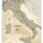
 Italy NGS Classic Wall Map PAPER
 Philippines F&B
 East Anglia A-Z Wall Map
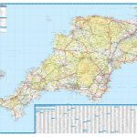 Devon & Cornwall A-Z Wall Map PAPER
 Italy NGS Executive Wall Map PAPER
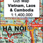 Vietnam – Laos – Cambodia Wall Map
 Britain and Ireland NGS Executive Wall Map PAPER
Highlands of Scotland Leisure and Tourist Map
Britain and Ireland NGS Executive Wall Map PAPER
Highlands of Scotland Leisure and Tourist Map
 Central America NGS Classic Wall Map ENCAPSULATED
British Isles Wall Map lemon – orange – thistle – khaki PAPER
British Isles Wall Map lemon – orange – thistle – khaki ENCAPSULATED
Central America NGS Classic Wall Map ENCAPSULATED
British Isles Wall Map lemon – orange – thistle – khaki PAPER
British Isles Wall Map lemon – orange – thistle – khaki ENCAPSULATED
 50 Miles Around Bristol Wall Map PAPER
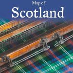 Scotland Collins Tartans Map
 Red Sea Wall Map
 China South Wall Map
 Somalia Wall Map
 Saudi Arabia Wall Map