Disclosure : This site contains affiliate links to products. We may receive a commission for purchases made through these links.
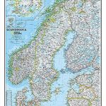
Scandinavia NGS Classic Wall Map LAMINATED
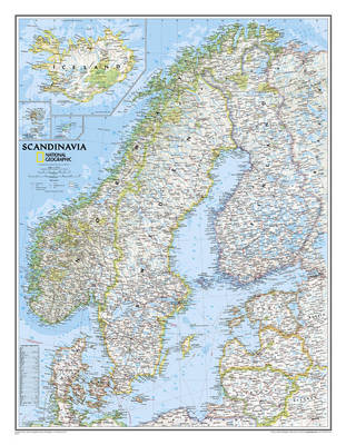
Scandinavia at 1:2,765,000 on a wall map, size: 77 x 60cm (30″ x 24″ approx) ‘“ laminated version, from the National Geographic Society in their traditional classic style with a light base and country boundaries in bright colours.Coverage includes the whole of the Baltic Sea, Estonia, Latvia and Lithuania. Insets show Iceland, Faroe Islands and Jan Mayen (but not Svalbard).The map shows the network of main roads and railways, airports and ferry routes. Topography is indicated by light relief shading, with spot heights and graphics for swamp areas, and in Iceland glaciers and lava fields, plus names of various mountain ranges, etc. Main national parks are highlighted. A glossary provides a translation of various geographical terms. Latitude and longitude lines are drawn at 2ยฐ intervals.* This map is also available on paper without the encapsulation.

Related Products:
 Scandinavia NGS Classic Wall Map PAPER
 Asia NGS Classic Wall Map Laminated
 Greece NGS Classic Wall Map PAPER
 Germany NGS Classic Wall Map PAPER
 Russia NGS Classic Wall Map PAPER
 South Africa NGS Classic Wall Map PAPER
 Greece NGS Classic Wall Map ENCAPSULATED
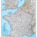 France, Belgium and Netherlands NGS Classic Wall Map LAMINATED
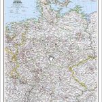 Germany NGS Classic Wall Map ENCAPSULATED
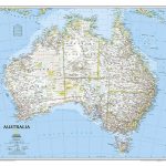 Australia NGS Classic Wall Map PAPER
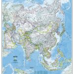 Asia NGS Classic Wall Map PAPER
 South Africa NGS Classic Wall Map ENCAPSULATED
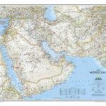 Middle East NGS Classic Wall Map PAPER
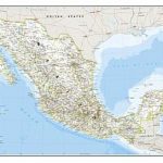 Mexico NGS Classic Wall Map PAPER
 Iceland Wall Map
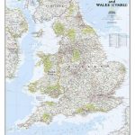 England and Wales NGS Classic Wall Map PAPER
 China NGS Classic Wall Map PAPER
Europe NGS Classic Wall Map PAPER
China NGS Classic Wall Map PAPER
Europe NGS Classic Wall Map PAPER
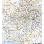 Afghanistan and Pakistan NGS Classic Wall Map PAPER
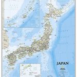 Japan NGS Classic Wall Map PAPER
 Europe NGS Classic Wall Map LARGE PAPER
 Australia NGS Classic Wall Map ENCAPSULATED
 Germany NGS Executive Wall Map PAPER
 Central America NGS Classic Wall Map ENCAPSULATED
 Iraq NGS Classic Wall Map PAPER
 World Maps International Physical Wall Map LARGE LAMINATED
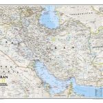 Iran NGS Classic Wall Map PAPER
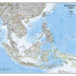 Southeast Asia NGS Classic Wall Map PAPER
 Middle East NGS Classic Wall Map ENCAPSULATED
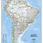
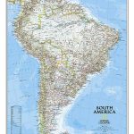 South America NGS Classic Wall Map PAPER
 Italy NGS Classic Wall Map PAPER
 South America NGS Classic Wall Map LARGE PAPER
 Mediterranean Countries NGS Classic Wall Map PAPER
 Europe K+F Physical Wall Map LAMINATED
 Central America NGS Classic Wall Map PAPER
 Scotland NGS Classic Wall Map PAPER
 United States NGS Classic Wall Map PAPER
Africa NGS Classic Wall Map PAPER
United States NGS Classic Wall Map PAPER
Africa NGS Classic Wall Map PAPER
 Mexico NGS Classic Wall Map ENCAPSULATED