Disclosure : This site contains affiliate links to products. We may receive a commission for purchases made through these links.
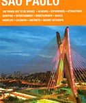
Sao Paulo & Brazil South Coast ITMB
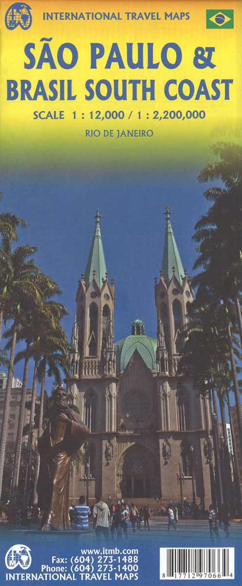
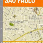
Sรฃo Paulo and the southernmost part of Brazil on a double-side map from ITMB combining a street plan of the city’s central districts at 1:12,500 with a road map at 1:2,200,000, both indexed. A plan of central Rio is also included.On one side is a clear, well presented street plan of Sรฃo Paulo’s central districts. Metro, railway and BRT bus lines are prominently marked. For drivers the map indicates one way streets and locations of petrol stations, and clearly shows access onto expressways. Numerous hotels and various places of interest or facilities are highlighted, all shown with names. Also provided is a small map of the city’s environs and a metro diagram. On the reverse is a road map of the southernmost part of Brazil, extending north to Belo Horizonte and west within Paraguay to include Asuncion. The map has altitude colouring to present the topography and shows the region’s road and rail networks. Places of interest are highlighted, including numerous beaches. The map is indexed and has latitude and longitude lines at intervals of 1ยบ.Also included is a large street plan of central districts of Rio de Janeiro presented as the Sรฃo Paulo plan.


