Disclosure : This site contains affiliate links to products. We may receive a commission for purchases made through these links.
Santiago Environs
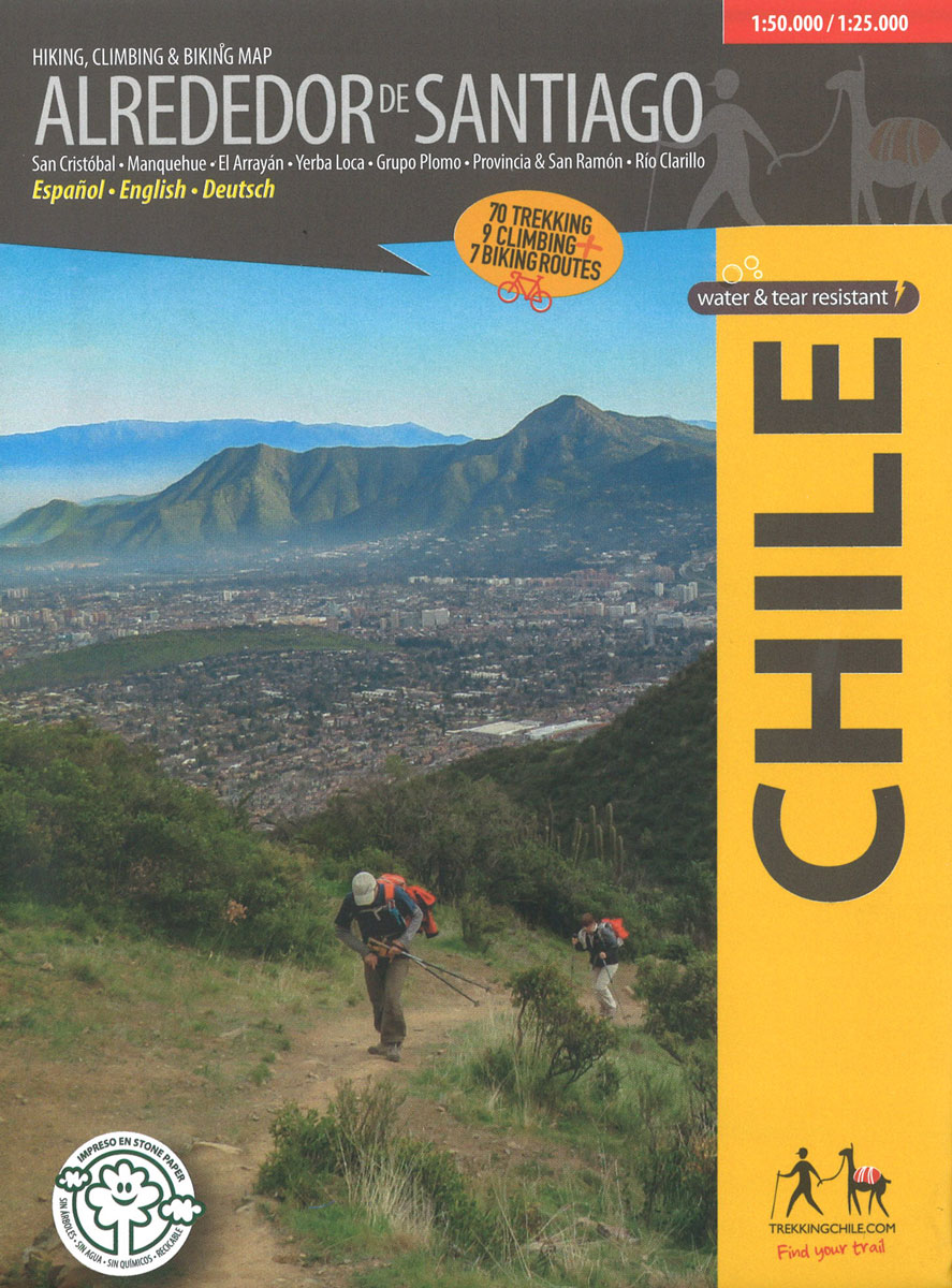
The Condor Circuit at 1:50,000/1:25,000 in a series of contoured, GPS compatible trekking and exploration maps at various scales form Trekkingchile. The main map at 1:50,000 covers the trekking area from Vilches Alto and Parque Inglรฉs eastwards beyond Volcรกn Descabezado Grande. Contours are at 50m intervals. The map shows local roads, paths and trekking trails. Symbols highlight various accommodation facilities (hotels, campsites, refuges), eateries and grocery stores, sport and recreational sites, etc. The map has a UTM grid, plus margin ticks for latitude and longitude at 1’.On the reverse two areas are shown in greater detail at 1:25,000: the Reserva Nacional Altos de Lircay and Parque Nacional Siete Tazas. Also included is a table listing local amenities with contract numbers, indicating what services are provided there.Maps in the Trekkingchile series use satellite imagery as a base, with contour lines and colouring to indicate different types of terrain and habitats. Unless indicated to the contrary in the individual descriptions, the maps have a UTM grid, plus margin ticks for latitude and longitude. The maps are annotated with tourist information and most titles include a street plan of the region’s main town. Many are illustrated with drawings of local fauna or flora. Map legends and other text include English.To see the other titles in this series please click on the series link.

Related Products:
 Condor Circuit
 Melado – Volcรกn San Pedro
 Puyehue
 Lake Llanquihue and Surrounding Region
 Chile: Trekkingchile Hiking and Exploration Maps
Nevados de Chillรกn
Chile: Trekkingchile Hiking and Exploration Maps
Nevados de Chillรกn
 Huilo Huilo Biological Reserve Trekkingchile Map
 Cajรณn del Maipo – Volcรกn San Josรฉ
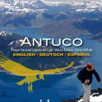 Antuco – Laguna del Laja National Park
 Rรญo Los Cipreses National Reserve
 Torres del Paine 50K/100K Trekkingchile Map
 Laguna del Maule – Winter Trails
 Cabo Froward
 Costa del Maule
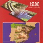 Santiago de Compostella CNIG Topo 94
 Horcajo de Santiago CNIG Topo 632
Santiago de la Espada CNIG Topo 908
Horcajo de Santiago CNIG Topo 632
Santiago de la Espada CNIG Topo 908
 Santiago Papasquiaro
 Santiago del Teide – Tenerife CNIG Topo 1091-3
 Ljubljana and Environs Slovenian Alpine Club 50K Map
 Camino de Santiago: Stages 31/32, Arzรบa/Santiago de Compostela 50K CNIG Map
 Pucon – Villarrrica NP – Huerquehue NP
 Santiago do Cacem
 Santiago de Escoural
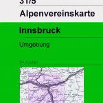
 Innsbruck and Environs Alpenverein Map 31/5
 Innsbruck and Environs Alpenverein SKI Map 31/5SKI
 Galicia: Santiago de Compostela – Leรณn 500K CNIG Regional Map No.1
 Lugo and Environs CNIG Map
Camino de Santiago 50K CNIG Topo 11-Map Box Set
Lugo and Environs CNIG Map
Camino de Santiago 50K CNIG Topo 11-Map Box Set
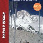 Makalu Region Great Himalay Trail Map
Camino de Santiago: Stages 7/8/9/10, Los Arcos/Belorado 50K CNIG Map
Camino de Santiago: Stages 27/28/29/30, Triacastela/Arzรบa 50K CNIG Map
Camino de Santiago: Stages 1a/2a/3a/4a, Col de Somport/Sangรผesa 50K CNIG Map
Camino de Santiago: Stages 5/5a/6/6a, Sangรผesa/Puente la Reina/Los Arcos 50K CNIG Map
Makalu Region Great Himalay Trail Map
Camino de Santiago: Stages 7/8/9/10, Los Arcos/Belorado 50K CNIG Map
Camino de Santiago: Stages 27/28/29/30, Triacastela/Arzรบa 50K CNIG Map
Camino de Santiago: Stages 1a/2a/3a/4a, Col de Somport/Sangรผesa 50K CNIG Map
Camino de Santiago: Stages 5/5a/6/6a, Sangรผesa/Puente la Reina/Los Arcos 50K CNIG Map
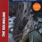 Rolwaling Region Great Himalaya Trail Map
Camino de Santiago: Stages 1n/2n/3n/4n, Saint-Jean-Pied-de-Port/Puente la Reina 50K CNIG Map
Rolwaling Region Great Himalaya Trail Map
Camino de Santiago: Stages 1n/2n/3n/4n, Saint-Jean-Pied-de-Port/Puente la Reina 50K CNIG Map
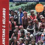 Langtang & Helambu Great Himalaya Trail Map
 Sikles Trek
Naar – Phu
Camino de Santiago: Stages 11/12/13/14, Belorado/Boadilla del Camino 50K CNIG Map
Sikles Trek
Naar – Phu
Camino de Santiago: Stages 11/12/13/14, Belorado/Boadilla del Camino 50K CNIG Map