Disclosure : This site contains affiliate links to products. We may receive a commission for purchases made through these links.
San Francisco CA in detail Global Graphics Street Map
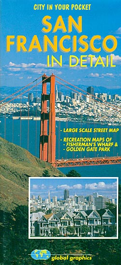
San Francisco on an indexed street plan from Global Graphics with in the reverse detailed enlargements for its downtown area, Fisherman’s Wharf and the Golden Gate Park.On one side is a street plan at 1:19,000 of the whole city within its municipal boundary. The map shows main traffic arteries across the city, one way streets, and the route of the 49 Mile Scenic Drive. Also marked are BART lines with stations and cable car lines. On the reverse three large panel present in greater detail the downtown area (with streets annotated with block numbers for easier identification of addresses), plus Fisherman’s Wharf and Golden Gate Park, both with symbols indicating car parks, restaurants, bars, public toilets, recreational facilities, etc.

Related Products:
 San Francisco Borch
 San Francisco Red Maps
 San Francisco CA Transit and Street Map Global Graphics
 San Francisco PopOut
 Hollywood CA Global Graphics detailed Street Map
 Trieste Global Map Street Plan
 Los Angeles and Hollywood CA Global Graphics Street Map
 San Diego CA Street Map Global Graphics
 Cagliari Global Map Street Plan
 Venice (with the Islands and the Lido) Global Map Street Plan
 Florence Global Map Street Plan
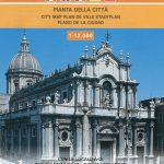 Catania Global Map Street Plan
 Riga City Center Jana Seta Street Plan
 Verona Global Map Street Plan
 Palermo Global Map Street Plan
 Rome Global Map Street Plan
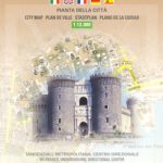 Naples Global Map Street Plan
 Ancona Global Map Street Plan
 Sorrento Global Map Street Plan
Ragusa Global Map Street Plan
Sorrento Global Map Street Plan
Ragusa Global Map Street Plan
 Basel Pocket Street Plan
 Mantua Global Map Street Plan
 Padua Global Map Street Plan
 Bergamo Global Map Street Plan
 Rimini Global Map Street Plan
Como Global Map Street Plan
Rimini Global Map Street Plan
Como Global Map Street Plan
 Vicenza Global Map Street Plan
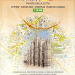 Milan Global Map Street Plan
Bari Global Map Street Plan
Marsala Global Map Street Plan
Milan Global Map Street Plan
Bari Global Map Street Plan
Marsala Global Map Street Plan
 Vilnius Jana Seta Street Plan WATERPROOF
 Turin Global Map Street Plan
 Kaunas Jana Seta Street Plan
 Siena Global Map Street Plan
Modena Global Map Street Plan
Perugia Global Map Street Plan
Siena Global Map Street Plan
Modena Global Map Street Plan
Perugia Global Map Street Plan
 Bologna Global Map Street Plan
 Jurmala Jana Seta Street Plan
 Salzburg F&B Tourist Street Plan