Disclosure : This site contains affiliate links to products. We may receive a commission for purchases made through these links.
Salalah – Governorate of Dhofar Map
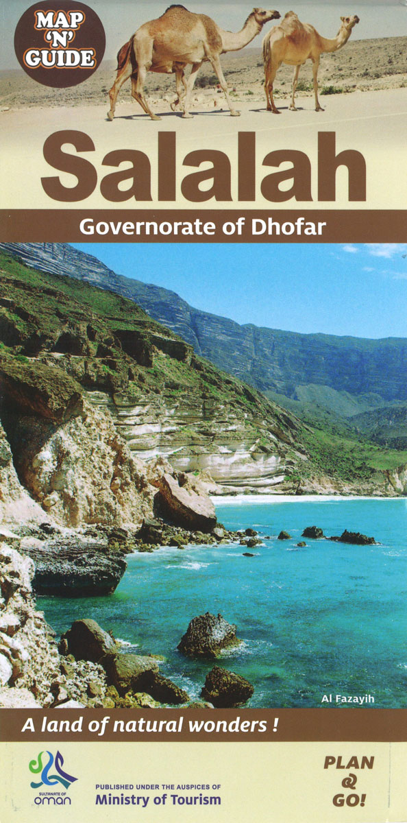
Indexed street plan of Salalah with an enlargement for the city centre, plus a plan of the port area and maps of the city’s environs and the Dhofar province, all annotated with information for visitors. The plan highlights tourist accommodation, public buildings and government offices, various facilities including banks, mosques, souks, petrol stations, etc. A separate enlargement shows the city centre in greater detail.Also included are road maps of the environs of Salalah and of the Dhofar province indicating main attractions, a plan of the port area, and lists of contact details for hotels, car hire, tour companies, etc. All place names are in Latin and Arabic alphabets.


